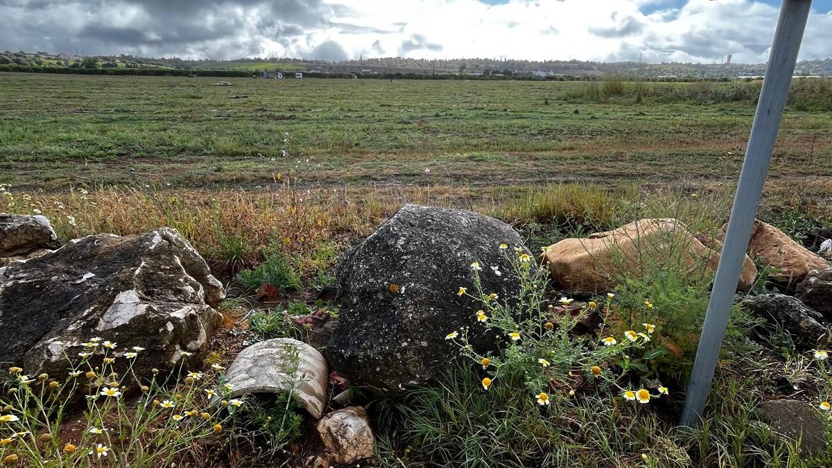
A fallen and broken stone, originally part of a menhir or standing stone.
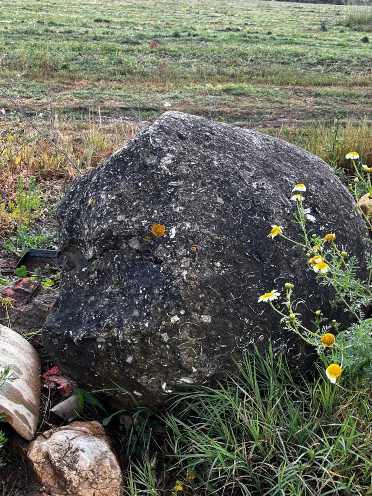
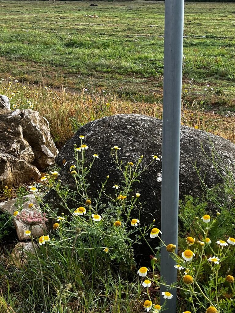
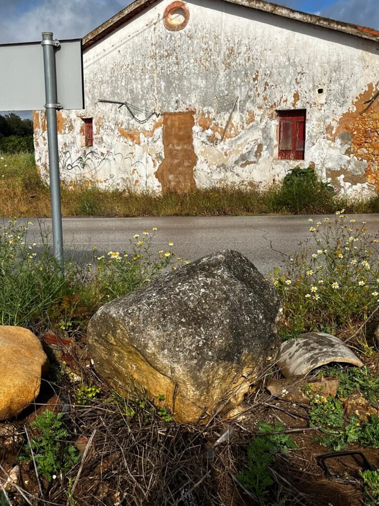
The stone is broken, and is lying beside the road as part of a stone border. It very likely was originally situated somewhere else, possibly in a field.
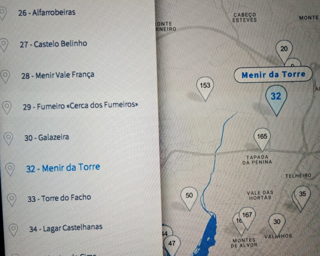
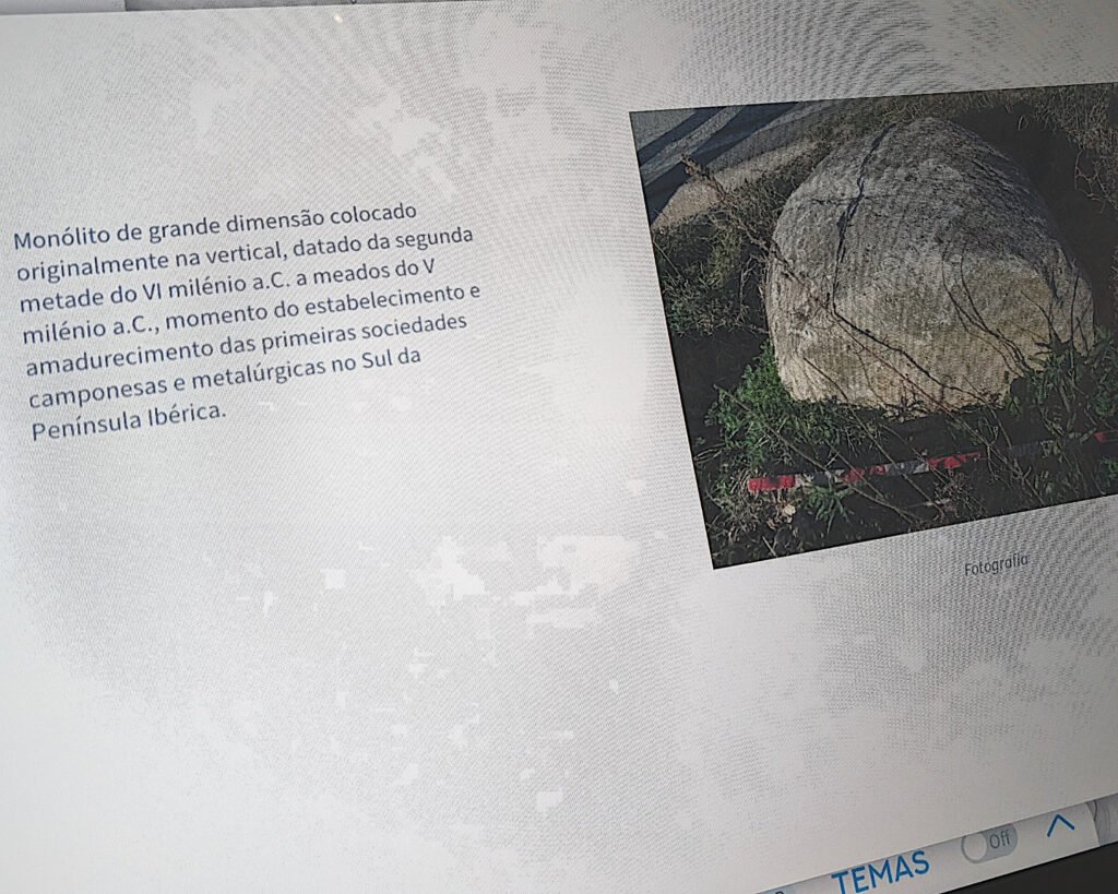
The museum in Portimão has a display that says this is a “large monolith” and dates it to the second half of the 6th millennium BC to the middle of the 5th millennium. That makes it around 4,500BC to 5,500 BC. It also says that this was the time of the “establishment and maturation of the first peasant and metallurgical societies in the south of the Iberian Peninsula.” Considering that the Copper Age (Chalcolithic) didn’t come until much later (around 2,900-2,000 BC), this description merits further research.
Location
The menir is in the Algarve, district of Faro. It’s in the municipality of Portimão, in the parish of Alvor. It’s north of the Alvor aerodrome, near the village of Torre.
Coordinates: 37.166788, -8.577622
Access
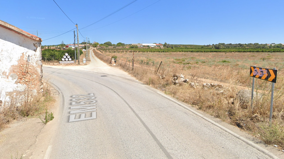
The stone is lying beside the road.
Signage
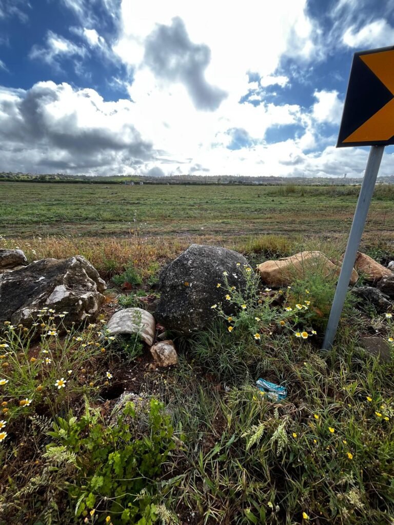
There’s no sign indicating where the stone is, but it is beside a road traffic sign of chevrons.
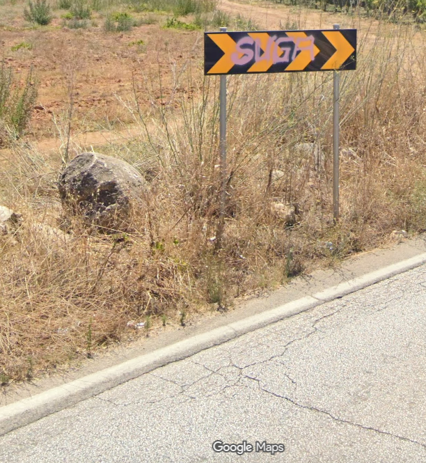
It’s at a bend in the road, just before a distinctive sign for the “Villa Alvor” winery/adega/shop:
Nearby
This stone is on the road that runs from Alvor up towards the incredible Megalithic Monuments of Alcalar, about 4km to the north.
Sources
In the museum of Portimão, there’s an interactive display showing historic and archaeological sites of the area. #32 is listed as the Menir da Torre.