

Also known as: Necrópole das Casas Velhas, Cistas das Casas Velhas, Necrópole de Cistas das Casas Velhas
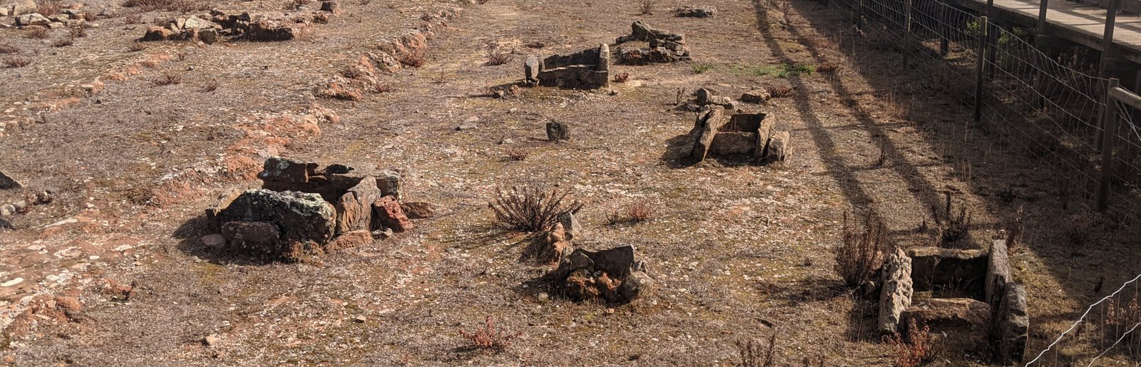
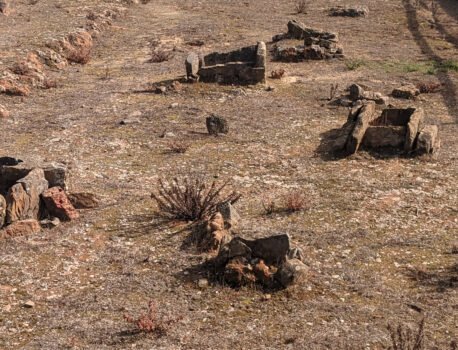
Walk around the wooden walkway and look down at the ground. Rectangular stone boxes are scattered around. These are graves from thousands of years ago.
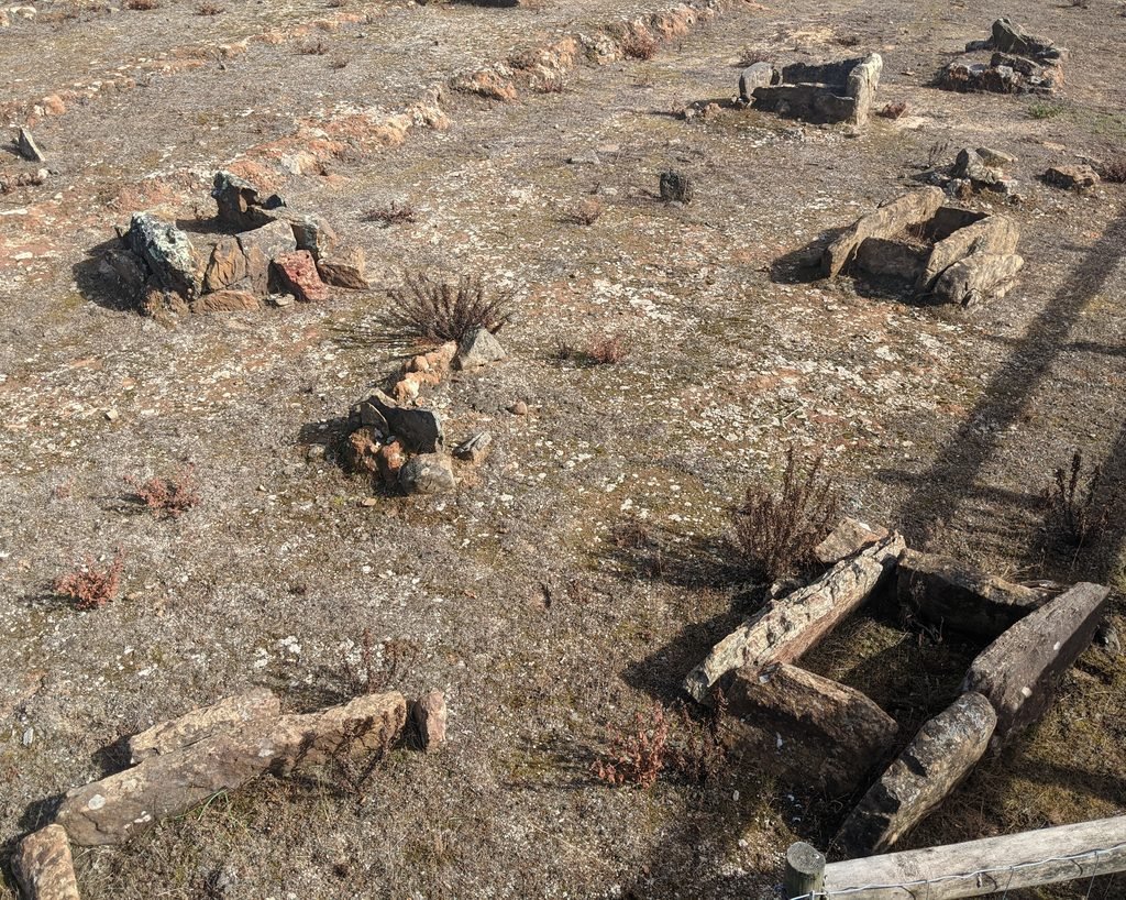
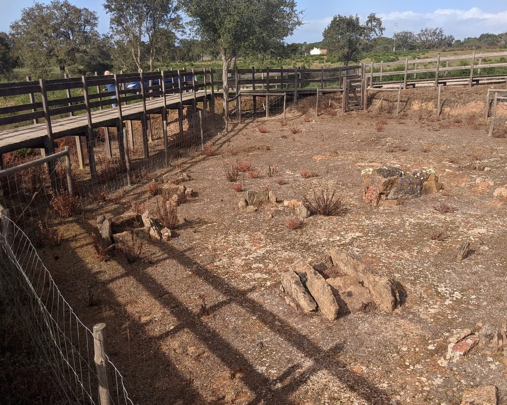
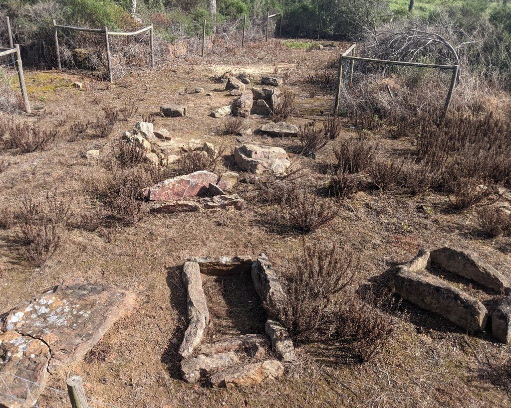
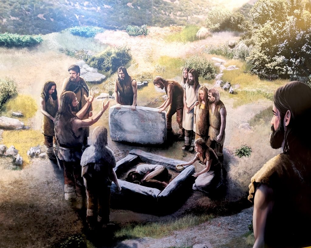
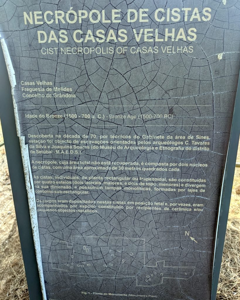
This is a “necropolis” or graveyard dating to the Bronze Age. Radiocarbon dating places at least two of the graves to 1680-1420 BC1, but there are indications that this may have been used for a wider time period. It contains a number of cists – small megalithic tombs, each one about a meter or so long. The individual cists are rectangular or trapezoidal in shape, and would originally have had slabs covering them. Bodies were placed in them in a foetal position, and sometimes had small artefacts (pottery or metal objects) placed with them. The cists did not seem to have been covered with mounds or tumuli.2
The site was discovered in the 1970s and was excavated by archaeologists Carlos Tavares da Silva and Joaquina Soares. There are two nuclei of cists, each covering approximately 30 square meters. It has not been fully excavated nor completely inventoried.
Location
The site is in the Lisbon region, district of Setúbal, municipality of Grândola. It’s in the parish of Melides, on rural roads outside the village of Vale Figueira.
Coordinates: 38.115746, -8.720498
Access
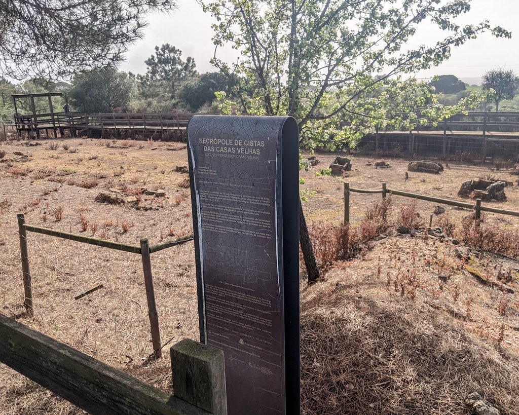
The site is easily reached by car or on foot. You can use the hiking route PR4 (“Caminho das Cistas”) to reach the site. There are boardwalks around the cists and an information sign in both Portuguese and English.
Signage
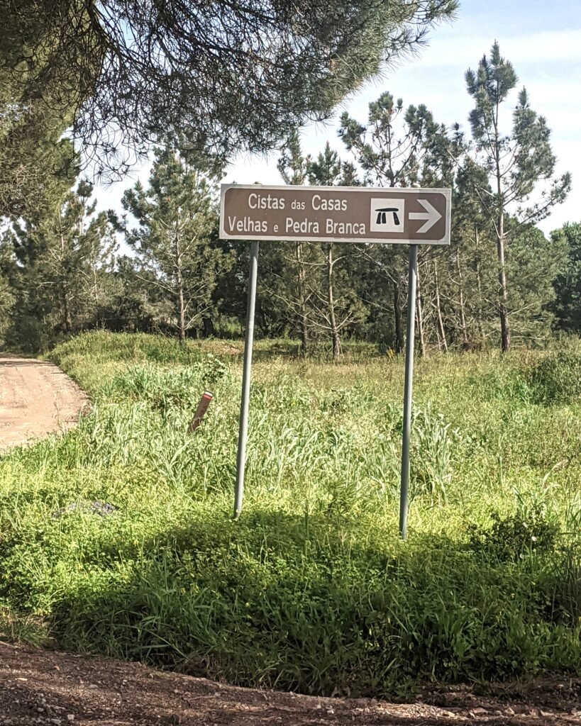
There are signposts on the N261 outside the town of Melides, about halfway between Comporta and Sines. (From Grândola, head towards Melides on the N261-2, and the signs are on the other side of Melides.) Once off the main road, you head towards Vale Figueira. There are more signs in Vale Figueira, but it’s easy to get lost. You can use the GPS coordinates (38.115733, -8.720431) to get you to the site.
Links
- Entry (in English) on the Megalithic Portal
- Description (in Portuguese) from Visit Grândola
- Hiking route and map (in Portuguese) of the PR4 GDL – Caminho das Cistas route from Visit Grândola website
- Detailed information (in Portuguese) from CIMAL (Comunidade Intermunicipal do Alentejo Litoral)
- Description (in Portuguese) from the Setúbal Region Network of Cultural Heritage (Rede de Património Cultural da Região de Setúbal)
- Photographs and description (in Portuguese) from PhotoArch
- Description (in Portuguese) from Archaeologist’s Portal of Directorate-General of Cultural Heritage
- Designation (in Portuguese) as a Property of Public Interest by the Directorate-General of Cultural Heritage
- Detailed entry (in Portuguese) from the database of Property of Public Interest
Nearby
The dolmen of Pedra Branca is very near, only about 650m away. There are other sites in the municipality: the Monumento Megalítico da Pata do Cavalo and Monumento Megalítico do Lousal, both antas (dolmens), are not far away. The archaeological museum in Grândola has information about all the sites.
Sources
- Valério, Pedro, et al. “Os Metais Das Necrópoles de Cistas de Casas Velhas (Melides) E Da Provença (Sines). O Encontro de Antigas E Novas Tecnologias No Bronze Pleno Do Sudoeste.” Setúbal Arqueológica: Do Paleolítico Ao Período Romano Republicano, vol. 18, 2019, pp. 89–96. Actas do IX Encontro de Arqueologia do Sudoeste Peninsular, maeds.amrs.pt/publicacoes/setubal-arqueologica. Accessed 12 Oct. 2026. ↩︎
- da Silva, Carlos Tavares, and Joaquina Soares. “Práticas Funerárias No Bronze Pleno Do Litoral Alentejano: O Monumento II Do Pessegueiro.” Estudos Arqueológicos de Oeiras, vol. 17, 2009, pp. 389–420, eao.oeiras.pt/index.php/DOC. Accessed 12 Oct. 2026. ↩︎