
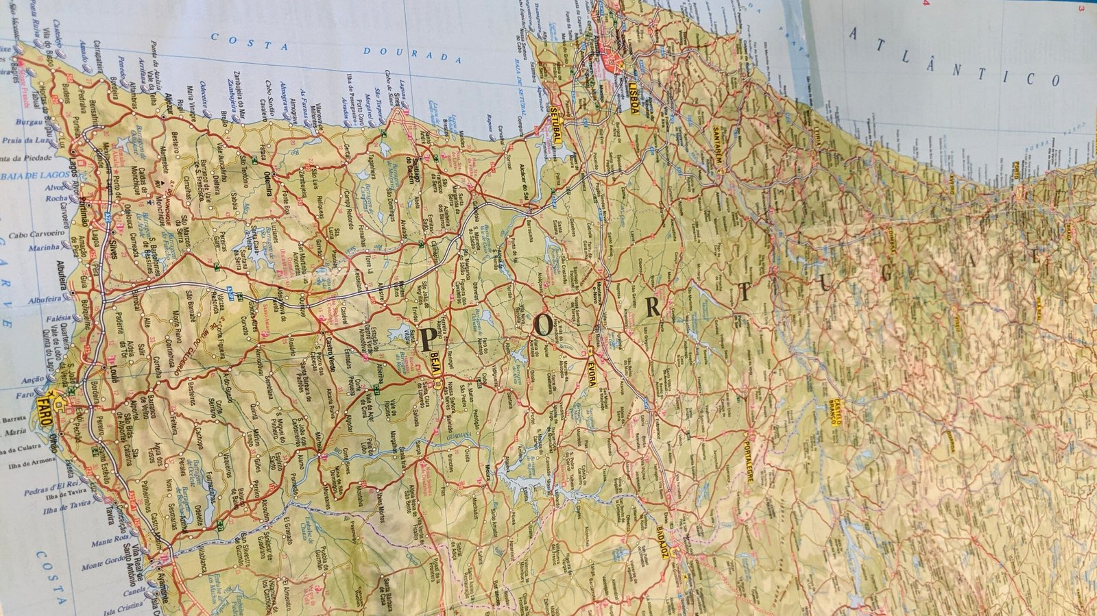
This page lists several Portugal maps to help you find locations: the site’s Marker Map, Districts of Portugal, and Traditional Provinces
1) Marker Map
Notes:
- Clicking on a cluster (bigger clusters are darker) will zoom in and separate the cluster.
- Any sites that have been documented on this website will have a yellow highlight on their marker.
- Clicking on the icon (or their name in the list) will bring up a photograph and link to their post on this site.
- You can filter for the main categories (Megaliths, Fossils, Art, Settlements, Caves, Museums) using the selection tool in the top right corner.
- You can search for specific sites using the list and search field below the map.
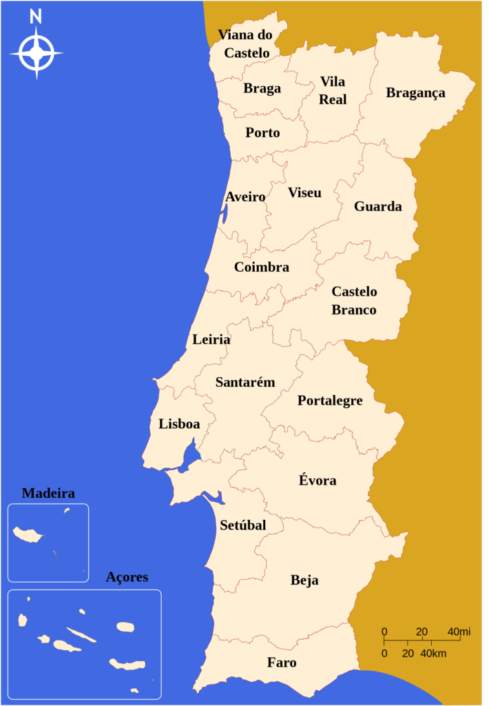
2) Districts of Portugal
Portugal’s administrative divisions operate at many levels. Officially, continental Portugal (one of the three main divisions of the country, along with the Açores and Madeira) has a top-level administrative division consists of municipalities and parishes. These are quite small regions, so this site will use Portugal’s districts (which still exist but no longer have official administrative functions).
3) Traditional Provinces
Most tourist guides and many books and references list the historical, traditional provinces of Portugal. They are no longer officially used, but are helpful as references and are used as tags on this website. The map below is a rough guide to the traditional provinces, overlaid onto the districts. (See Wikipedia for more detailed information.)
