
Also known as: Necrópole Megalítica dos Coureleiros, Antas dos Coureleiros
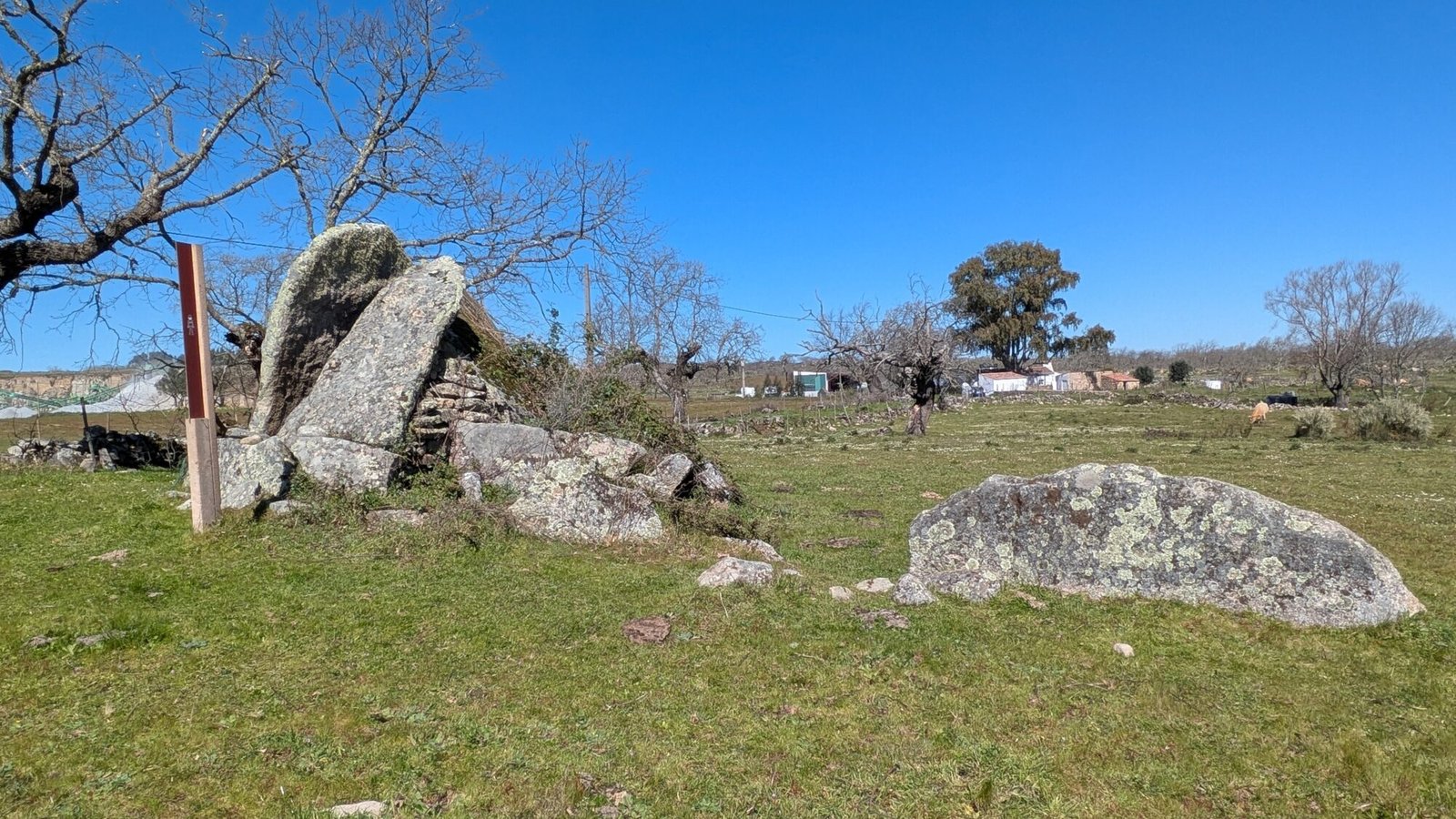
Walk along the road leading through the farmland: paddocks on either side of you, with the occasional herd of cows. The constant thumping of the nearby rock quarry provides an unpleasant soundtrack for your visit to this “park.” But if you persist, you can see the vestiges of prehistoric megalithic constructions. Four or more antas (or dolmens), chambered tombs, are scattered about the fields.

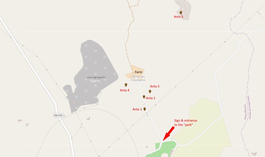
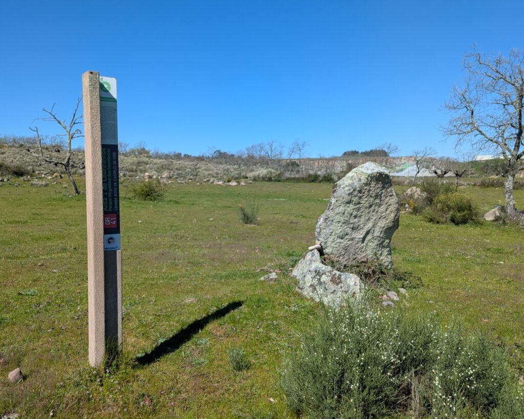
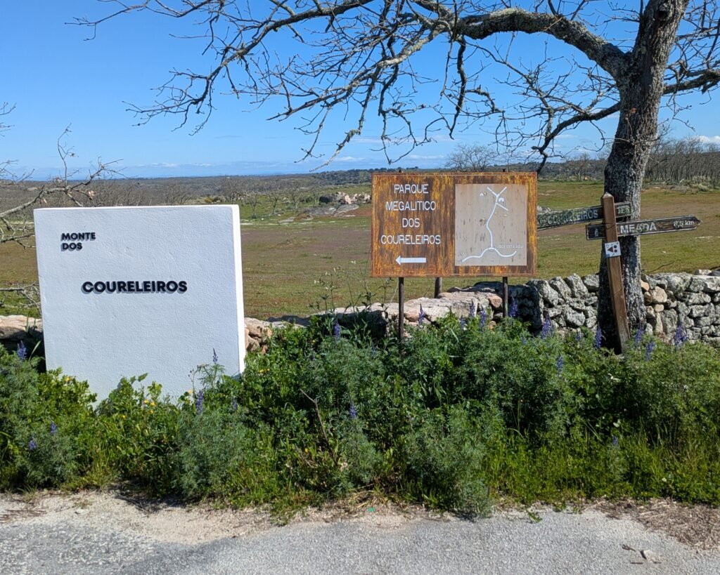
The “park” is located on the Herdade Monte dos Coureleiros. (“Herdade” is an estate) There are four antas (dolmens) officially signposted. A fifth is identified on maps further in.
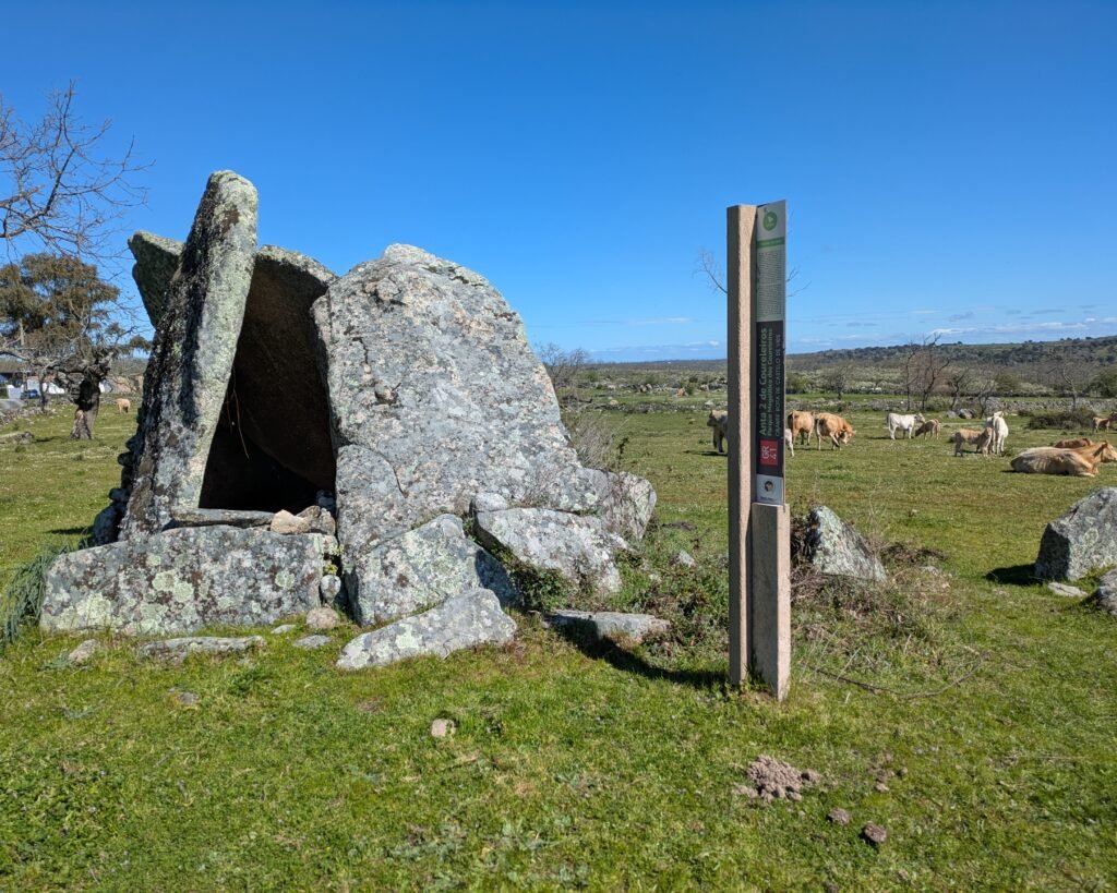
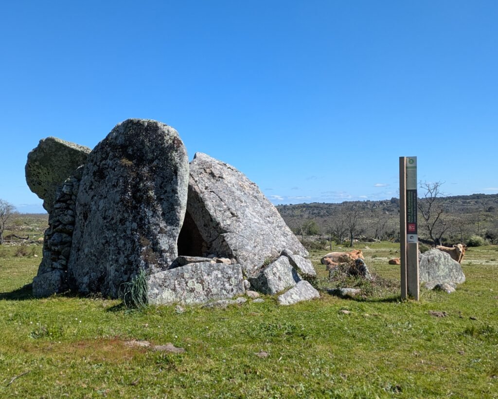
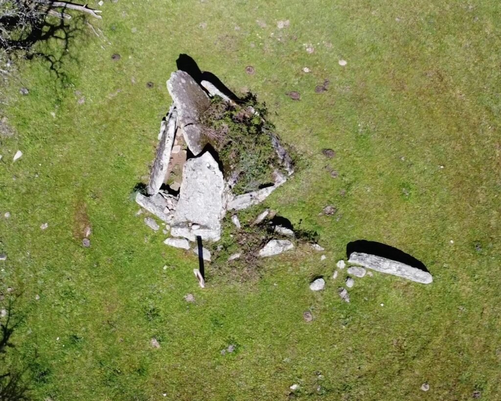
Anta #2 is designated a National Monument, and is the best preserved of the group. It is also one of the largest in the region. It has a polygonal chamber of seven pillars (or orthostats). Two are still intact. The capstone has fallen into the chamber. Some stonework has been done to try to close out the chamber. There are four stones along the south side of the corridor.
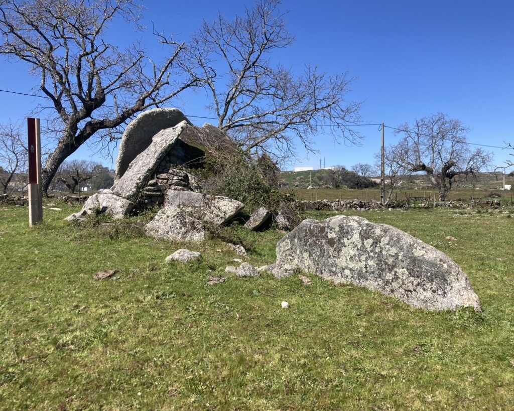
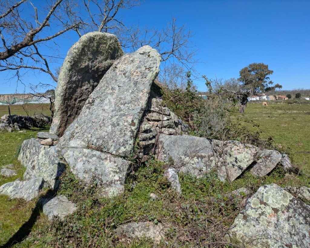
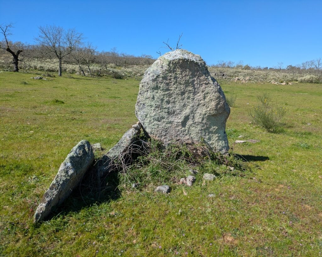
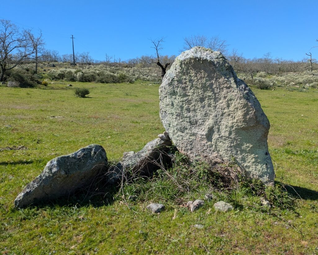
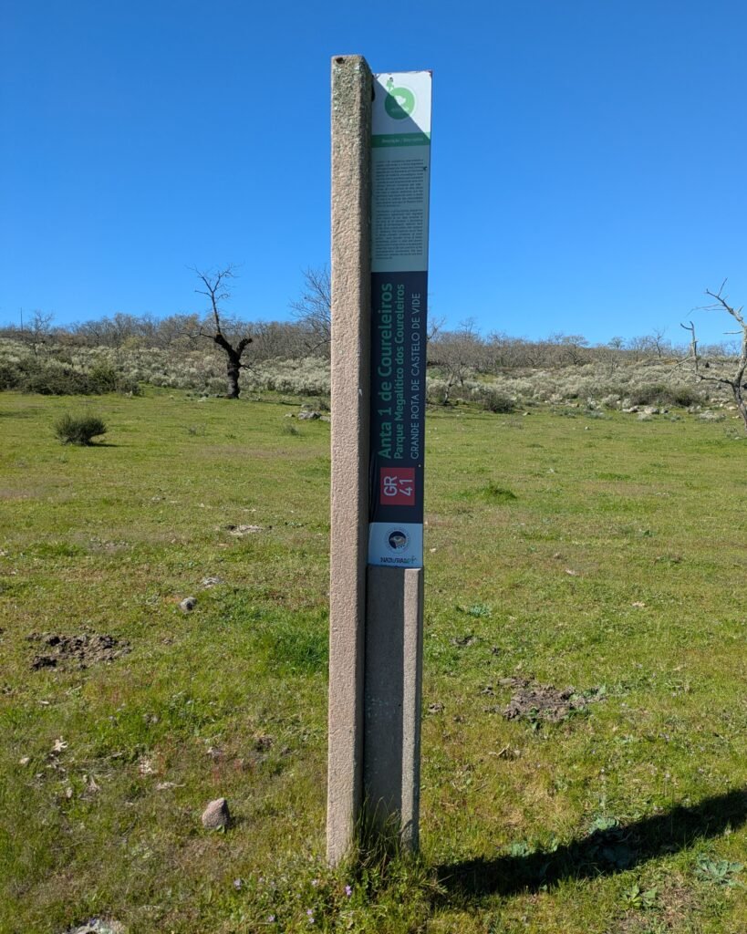
Anta #1 is the smallest in the group. It has three remaining pillars. Despite its poor condition, when it was excavated various artefacts were found including arrowheads, a string of beads, and engraved schist plaques.
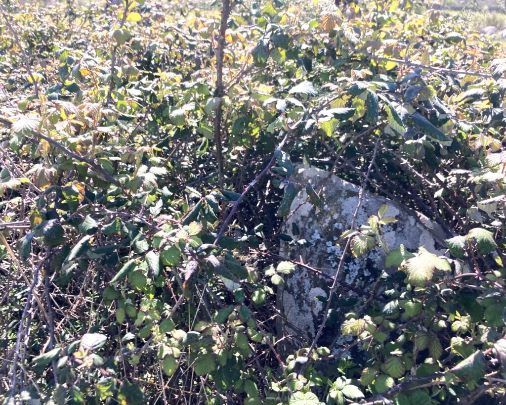
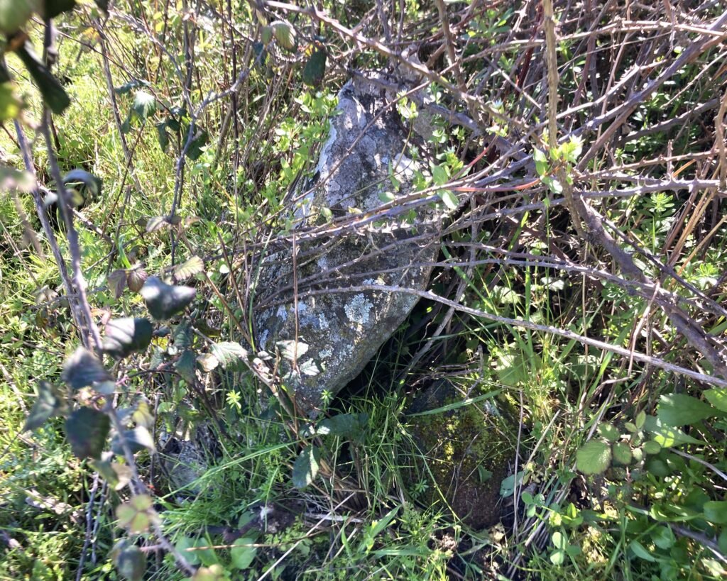
Anta #3 is (as the information sign says) “no more than the megalithic remnant of what would have been the tomb.” There are seven pillars, all badly broken. When I visited, the stones were only partially visible beneath the clump of weeds.
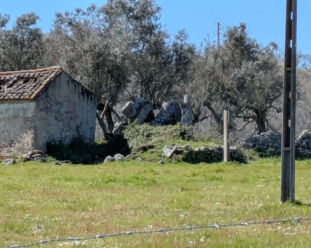
Anta #4 is quite large and has several large pillars remaining. An old farm building was built next to it, and the anta seems to have been used for various purposes over the years. I couldn’t find the entrance into the field and nobody was around to ask. I didn’t go exploring to try to find anta #5, which is further away and not listed on the park “map” at the entrance to the estate.
Location
This complex of antas is in the Upper Alentejo: district of Portalegre. It’s in the municipality of Castelo de Vide, parish of Santiago Maior. It’s signposted along the municipal road, M1006.
Coordinates (of entrance to the Herdade, where there’s a sign for the park): 39.440791, -7.468363
Access
The antas are on private land, but accessible through unlocked gates. Please respect the landowners’ rights, and be careful around the resident cows. Make sure you close the gates behind you.
Signage
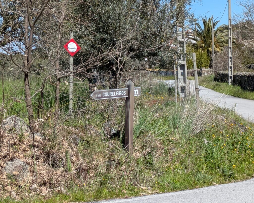
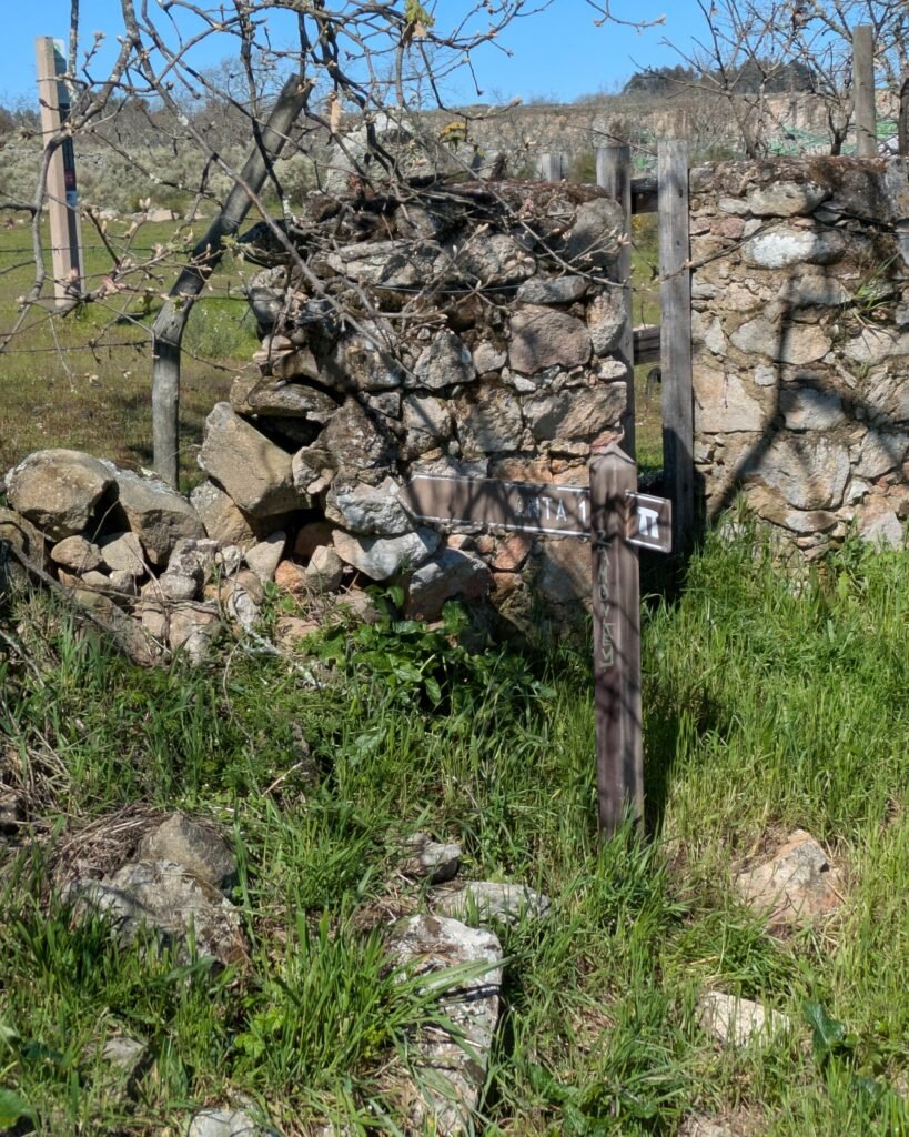
There are some small wooden signs along the M1006, particularly from the road that leads from the Menir da Meada to Castelo de Vide. There used to be similar wooden signposts within the park, pointing out the gate leading to each anta, but it seems only the sign for anta #1 remains. Each anta has an information post (in English and Portuguese) next to it.
Links
- Entry (in English) in the Megalithic Portal
- Description (in Portuguese) with some old photos from Murta Landscape, a tour company that runs some of the estate
- Description (in Portuguese) from Archaeologist’s Portal of Directorate-General of Cultural Heritage
- Designation (in Portuguese) as Properties of Public Interest by the Directorate-General of Cultural Heritage
- Detailed information (in Portuguese) in the database of the Directorate-General of Cultural Heritage
Nearby
There are many megalithic sites in the area. The closest are the Anta dos Pombais and the Anta do Pincho, both only a few kilometers away. The imposing Menir da Meada is only 8km away.
Sources
Oliveira, Jorge M. Forte de. “Monumentos Megalíticos Da Bacia Hidrográfica Do Rio Sever.” Ibn Maruán, vol. 1, 1 Jan. 1995, www.cm-marvao.pt/atividade-municipal/cultura/publicacoes/revista-cultural-ibn-maruan/. Accessed 10 Mar. 2025.