
Also known as: Núcleo Megalítico da Ordem, Antas do Monte da Ordem, Antas da Herdade da Ordem
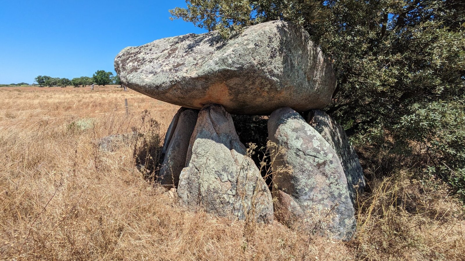
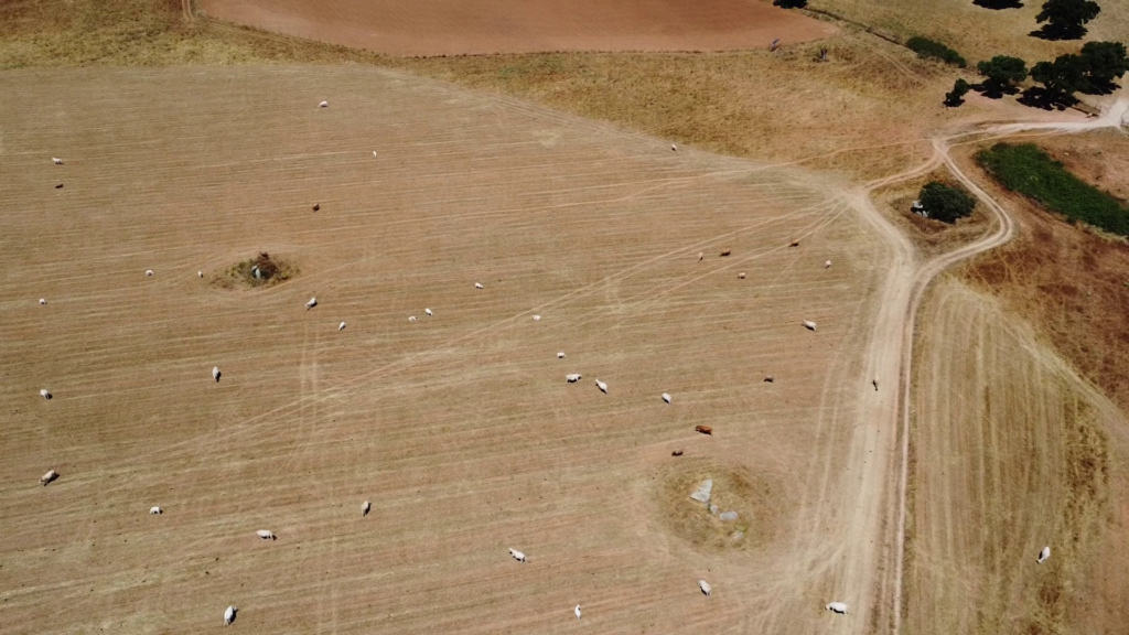
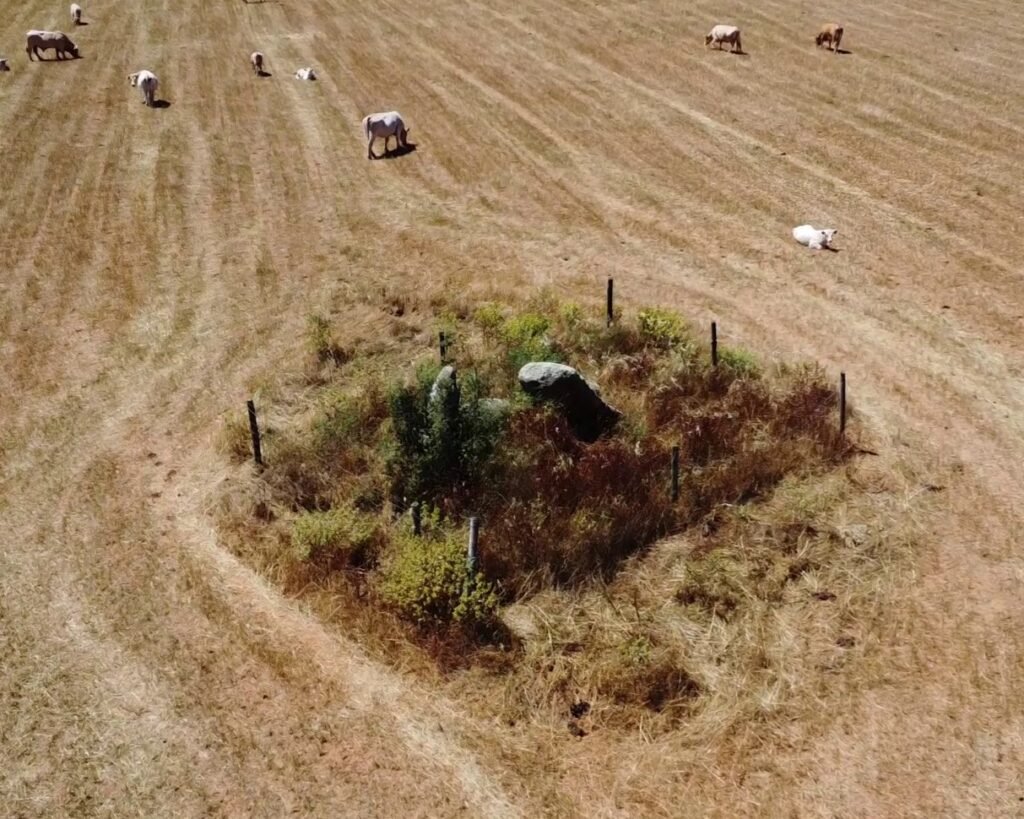
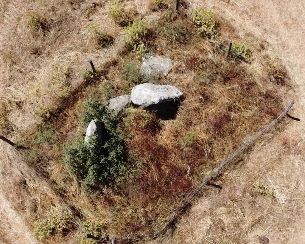
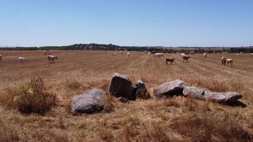
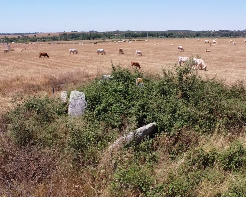
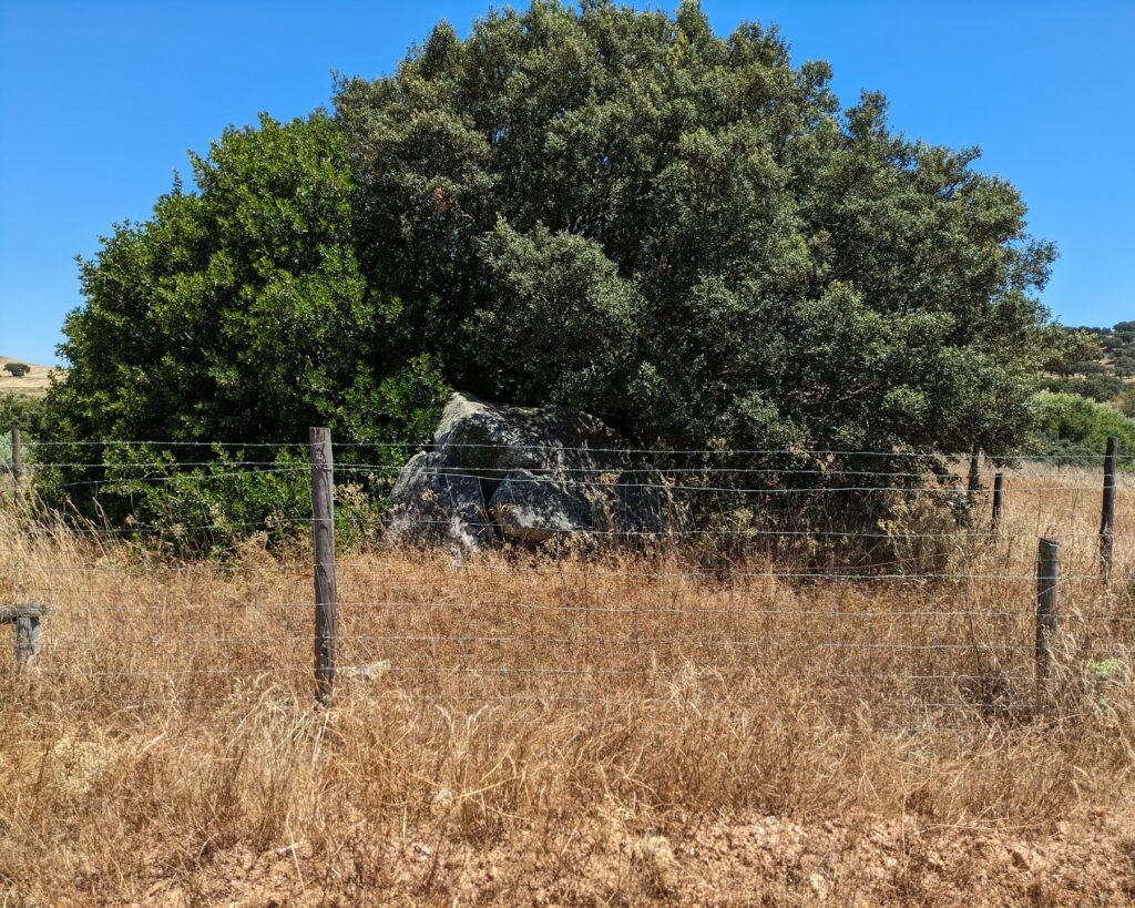
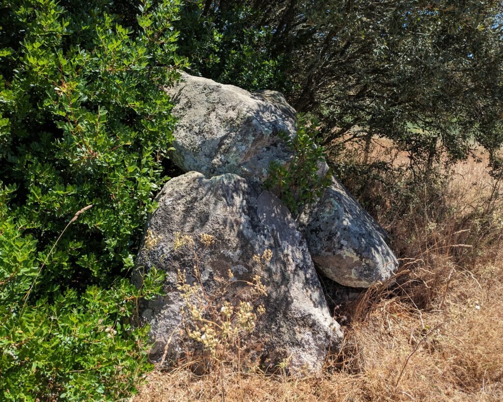
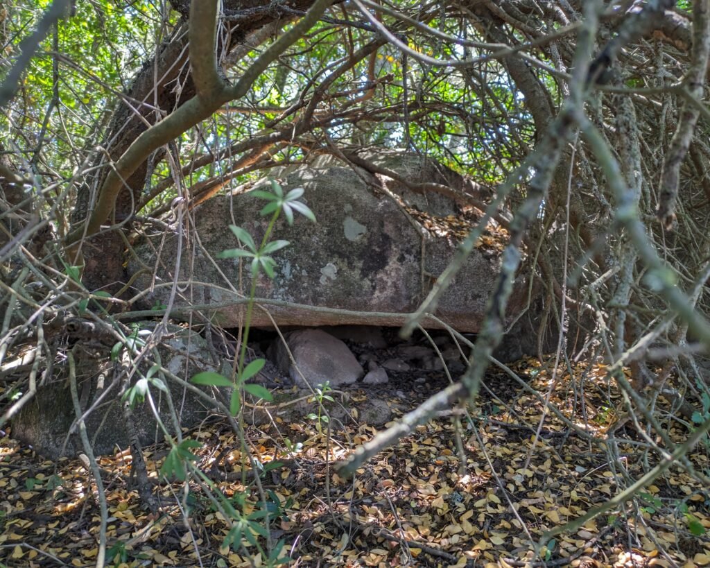
Walking through the pasture, keeping an eye on the herd of cows, you can feel the Alentejo sun beat down on your head. Duck underneath the irrigation mechanism. Follow the dirt track that leads towards the farmhouse. At various points you can see fenced-off spaces, green and grassy with rocks jutting up. As you leave the irrigation circle, the biggest fenced section is right in front of you. A tree shades the stone structure. This is the biggest and best preserved of the eight dolmens. It proudly stands in front of the fields as if to show off its longevity and status. The cows graze placidly, unaware of the vast gulf of millennia that separates them from the stone constructions.
Note: the numbers here are my best guess from different sources. There has been some confusion in the different registries, and some changes of numbering as well. For the most “official listing,” I’d have to check the official Carta Arqueológica de Avis …but I haven’t been able to do that yet.
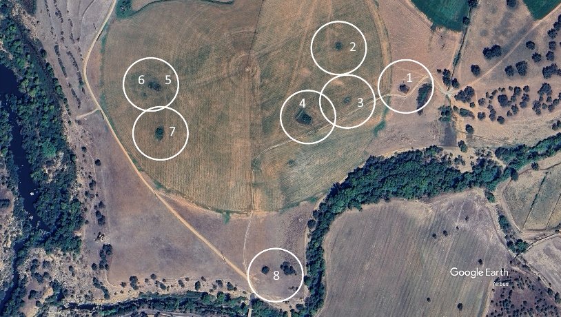
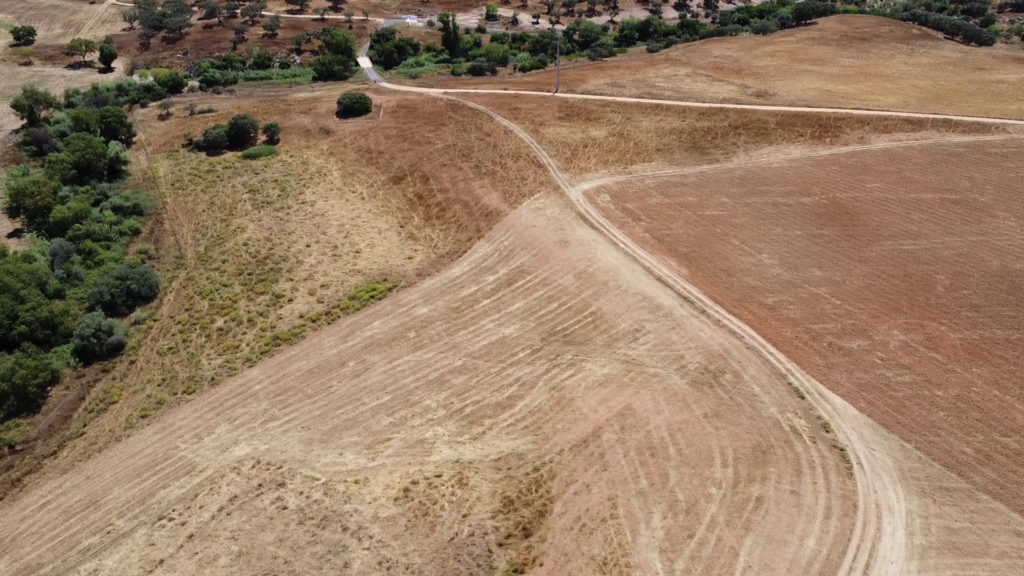
The road in the centre is a track through the private farm fields.
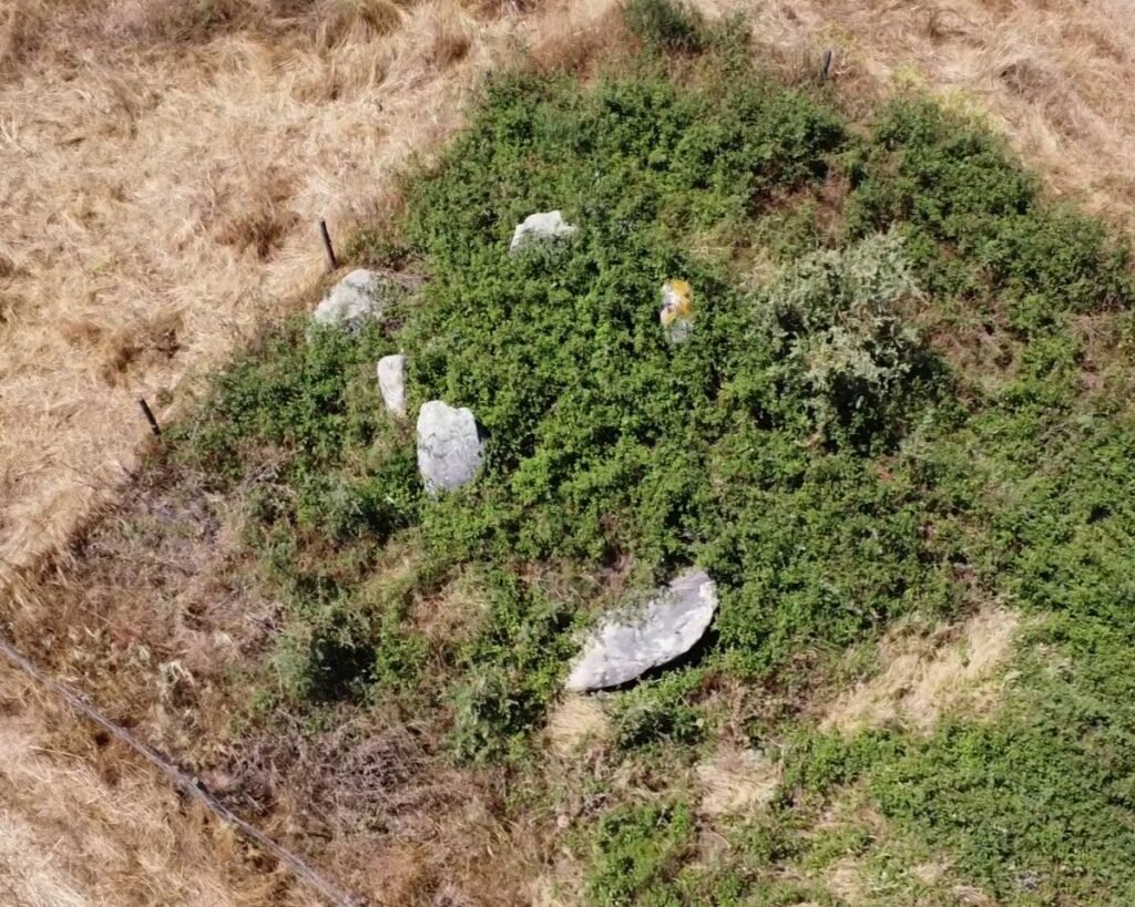
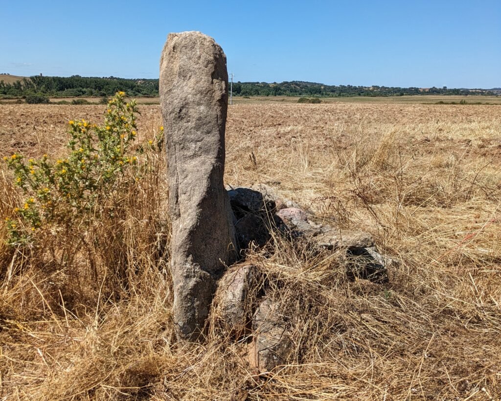
Anta Grande, or Anta 1
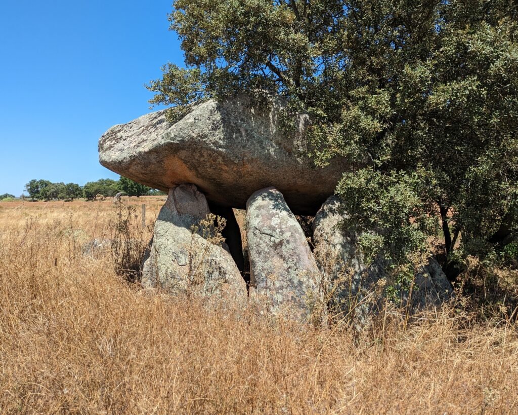
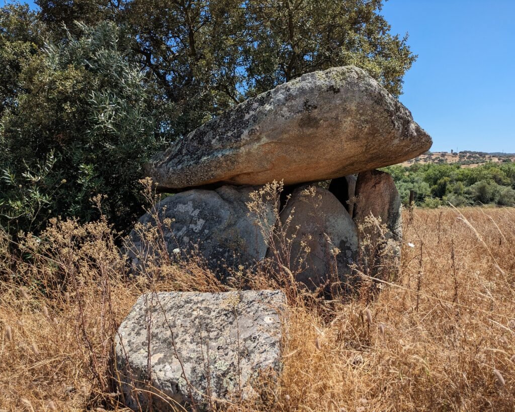
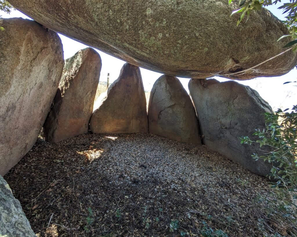
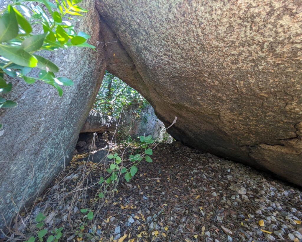
This is the largest and best preserved anta (“dolmen”) of the group. They were all built in the Late Neolithic or Early Chalcolithic period, about 3,500-2,500 BC or BCE. There are seven orthostats (upright stones) with the capstone remaining in place. The capstone is about 3m in diameter, and just under 2m above the ground. The corridor is about 6m long, with 15 upright supports.
This anta was excavated in 1889 by Manuel de Mattos Silva and José Leite de Vasconcellos. Many artefacts were found and are housed in the National Museum of Archaeology, including many decorative items (necklaces, engraved schist plaques, etc.), stone arrowheads and more, ceramics, etc. Some showed evidence of the use of red ochre.
There’s an excellent photo of the anta without the overgrown trees on the “Memórias das Pedras Talhas” blog site by archaeologist António Carlos Silva. (Interestingly, the post it accompanies is about his support of publishing information about sites in the interest of preserving them.)
Anta 2
Anta 3
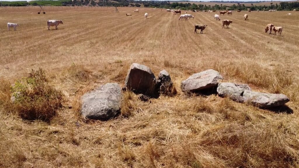
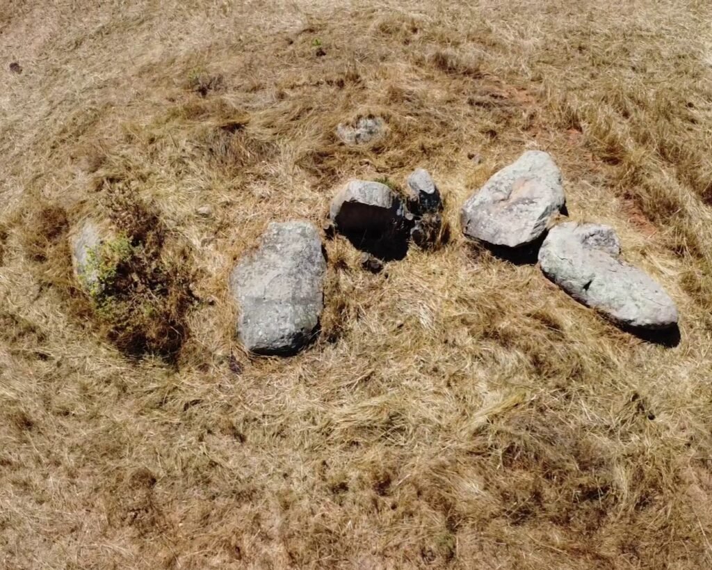
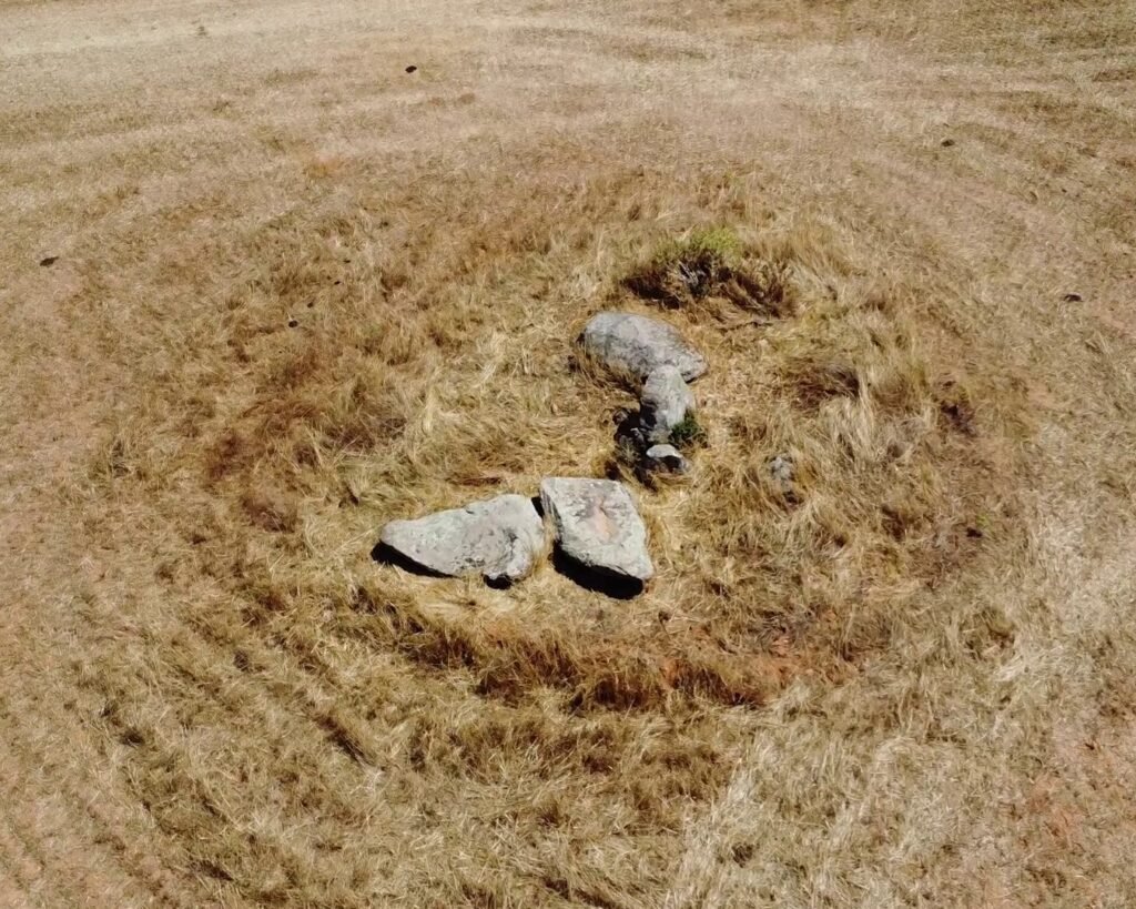
Anta 4
Anta 5
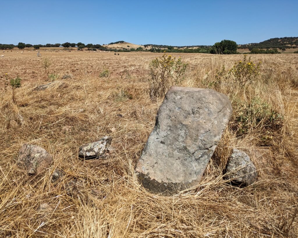
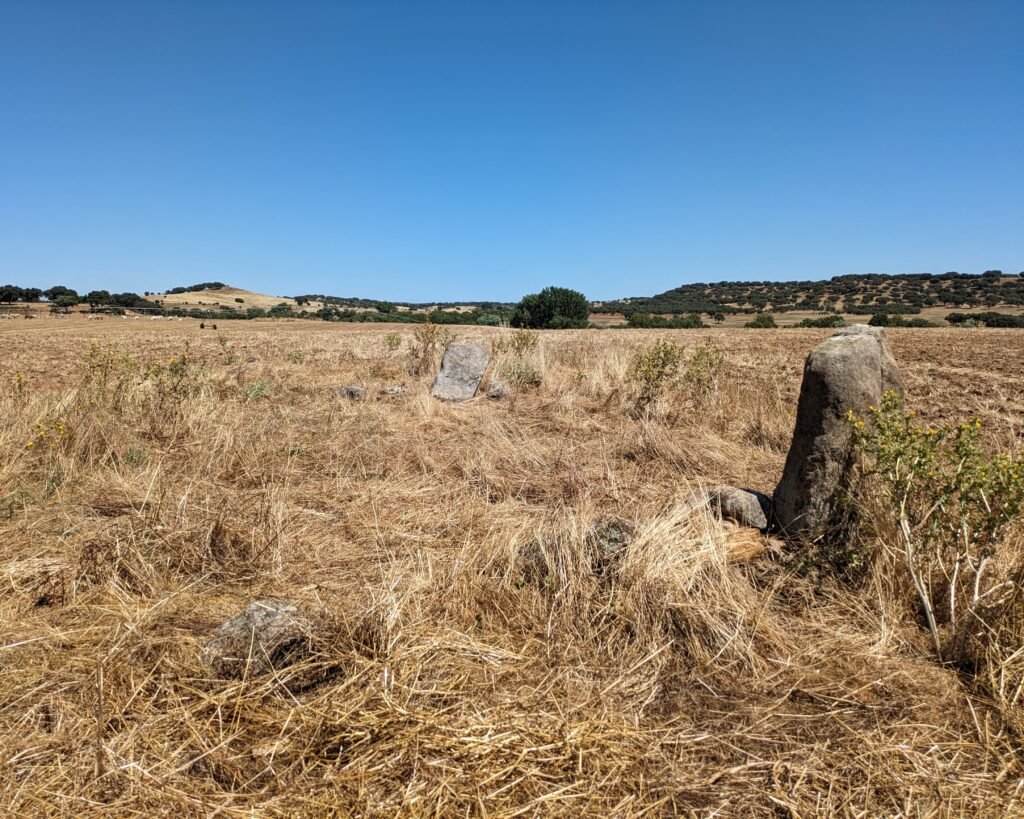
Anta 6
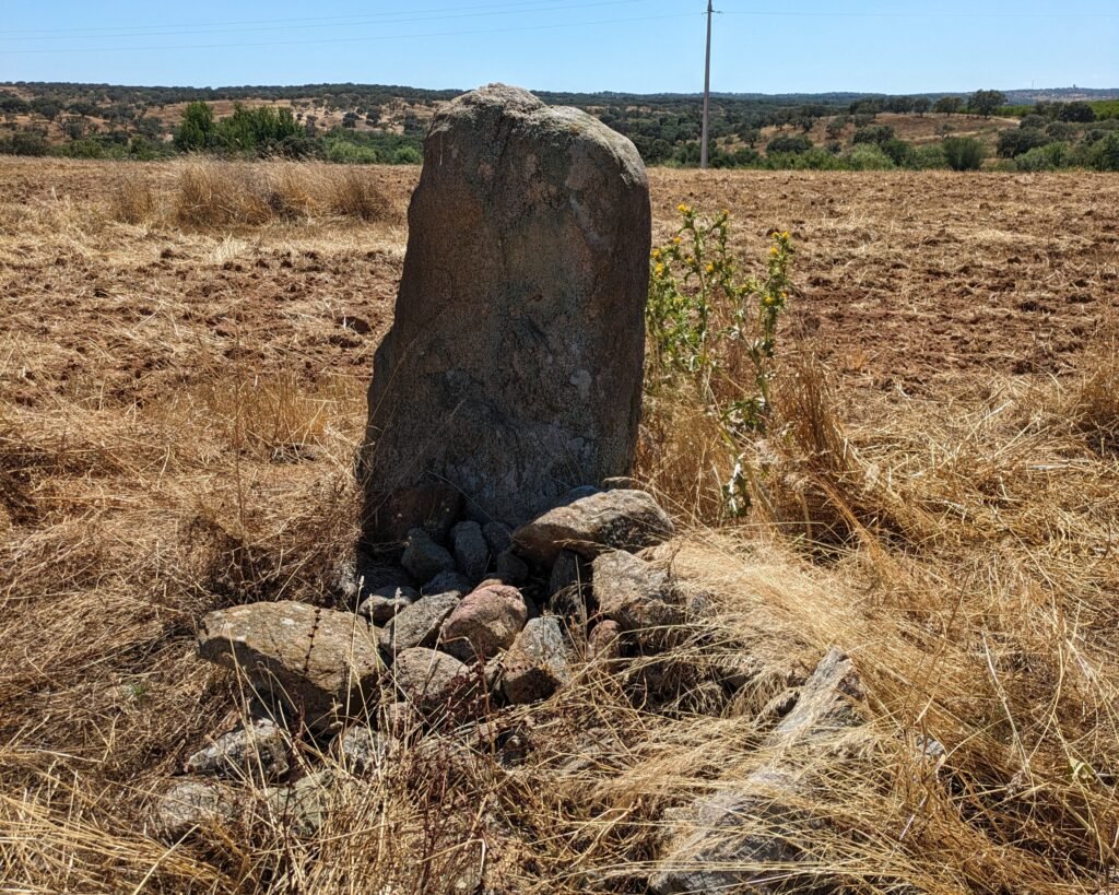
Anta 7
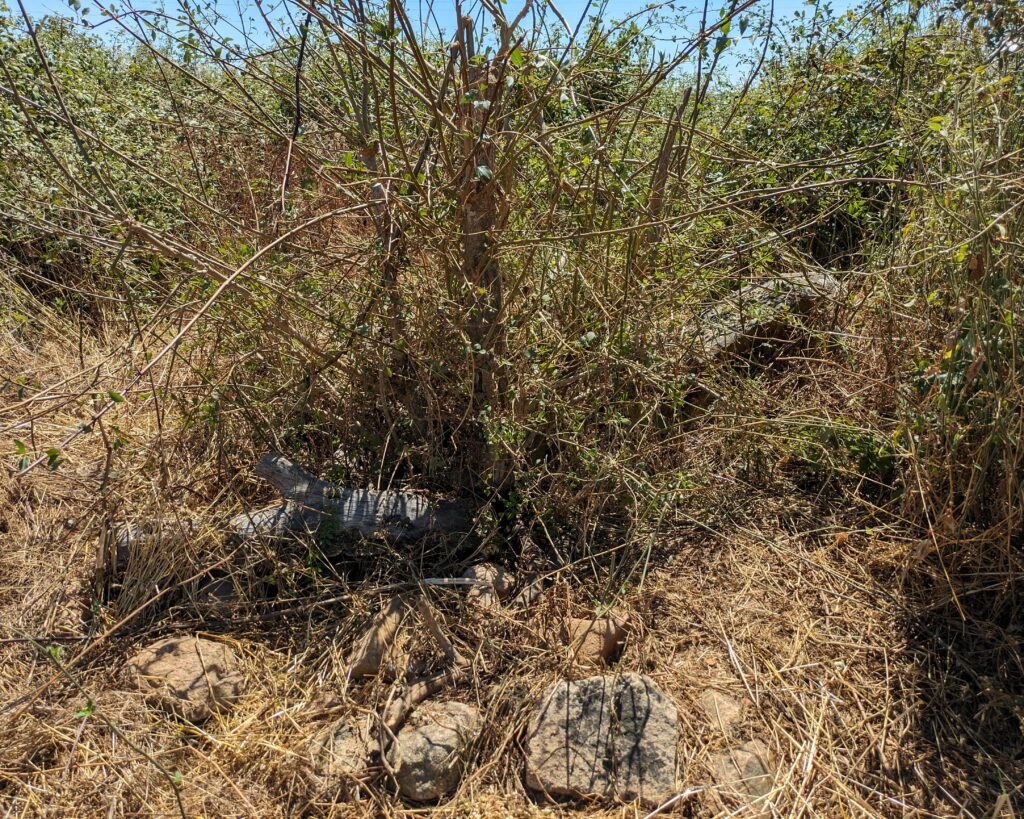
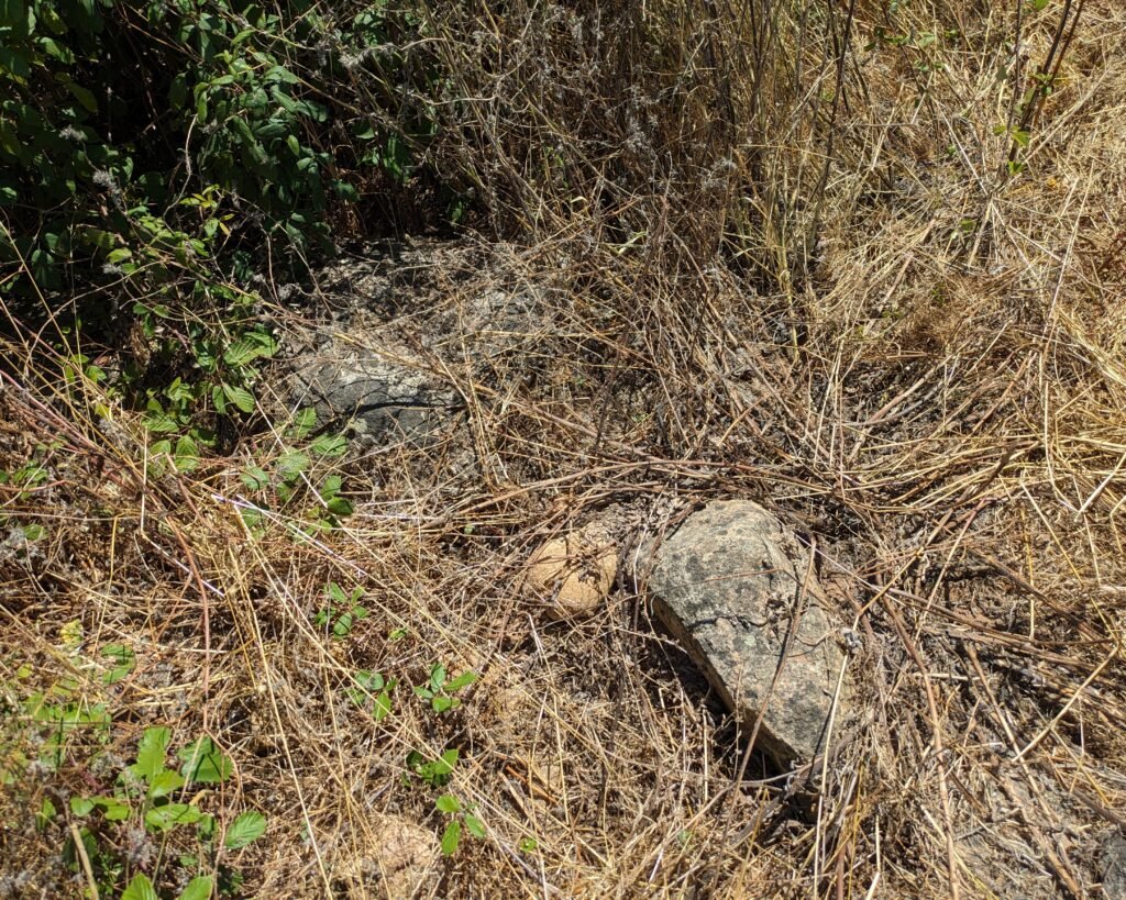
Anta 8
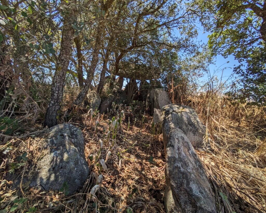
There’s a good photo of this anta (labeled as “Anta II”) on Wikimedia Commons – before it got overgrown.
Location
This collection of antas is in the Alentejo region, district of Portalegre. The site is located in the municipality of Avis, in the parish of Alcórrego and Maranhao. The nearest village is Cabeção (which is just across the border in the district of Évora). The antas are all located in a field in the Herdade (estate) of Monte da Ordem. This is located along the district border between Portalegre and Évora, at the spot where the Ribeira (stream) de Seda joins the Ribeira de Raia after it comes down from the Maranhão reservoir.
Access
It is possible to enter the area, as there is no locked gate, and the road leads to swimming & camping sites along the stream. The antas are on a private field beside the road. Be respectful of the farmers and be careful of the cows!
Signage
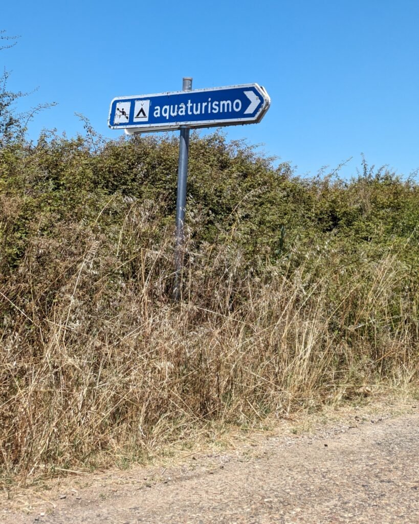
There are no signs to the antas. On the road between Cabeção and Avis there is a sign pointing to “aquaturismo.” This road goes around the field of Herdade do Monte da Ordem towards the stream and the Azenhas de Seda camping site. As you pass the field, you can see the antas on your left.
Links
- Entry (in English) for the complex on the Megalithic Portal
- Article (in Portuguese) from Wikipedia
- Article (in Spanish) from Dólmenia.
- Video (in Portuguese) from Era Arqueológia describing an anta, using the Anta Grande de Ordem
- Map, with some good photos of several in the cluster, (in Portuguese) from Portugal Megalítico
- Poster (in Portuguese) from an exhibition published by the Archaeological Center of Avis
- Description (in Portuguese) from Archaeologist’s Portal of Directorate-General of Cultural Heritage
- Designation (in Portuguese) of the Anta Grande (#1) as a National Monument by the Directorate-General of Cultural Heritage
- Details (in Portuguese) in the database of the Directorate-General of Cultural Heritage
- Note: the map on this database goes to an anta on the other side of the stream. The others are on the map but I can’t find them in the database.
Nearby
There are prehistoric sites all around the region. The closest are the sites in and around Paiva (town is 14km away): the Anta-Capela de São Dinis in Paiva town, and the surrounding antas and cromeleques. You can learn more about the megaliths of the region in the town of Mora (about 20km to the west) at the Interactive Museum of Megalithism.