
Also known as: Anta 1 do Vale da Laje, Anta do Casalinho 1
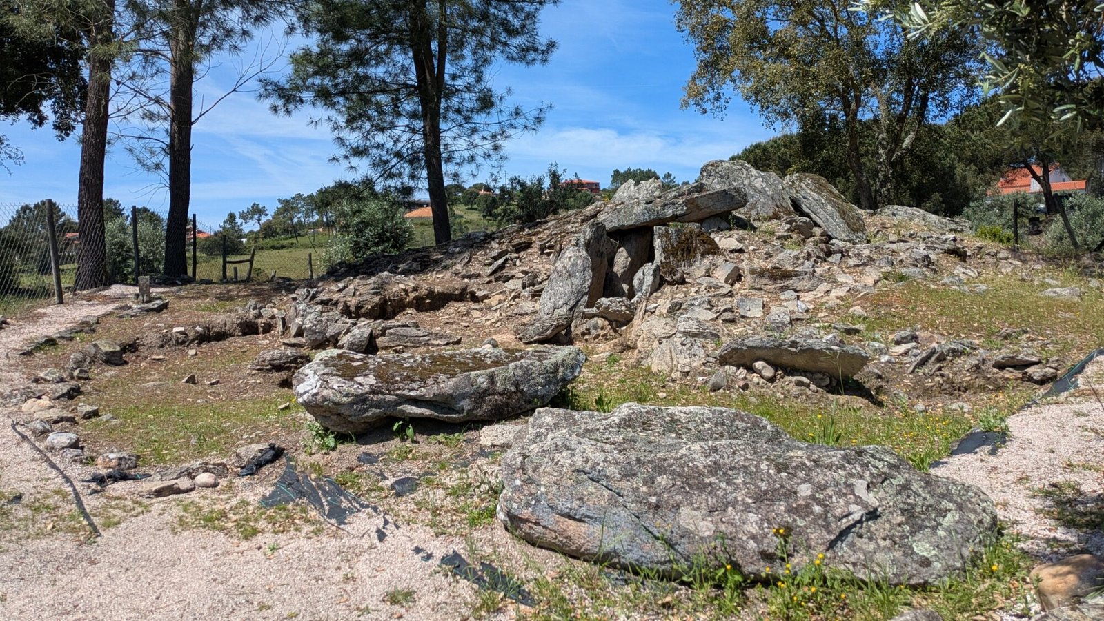
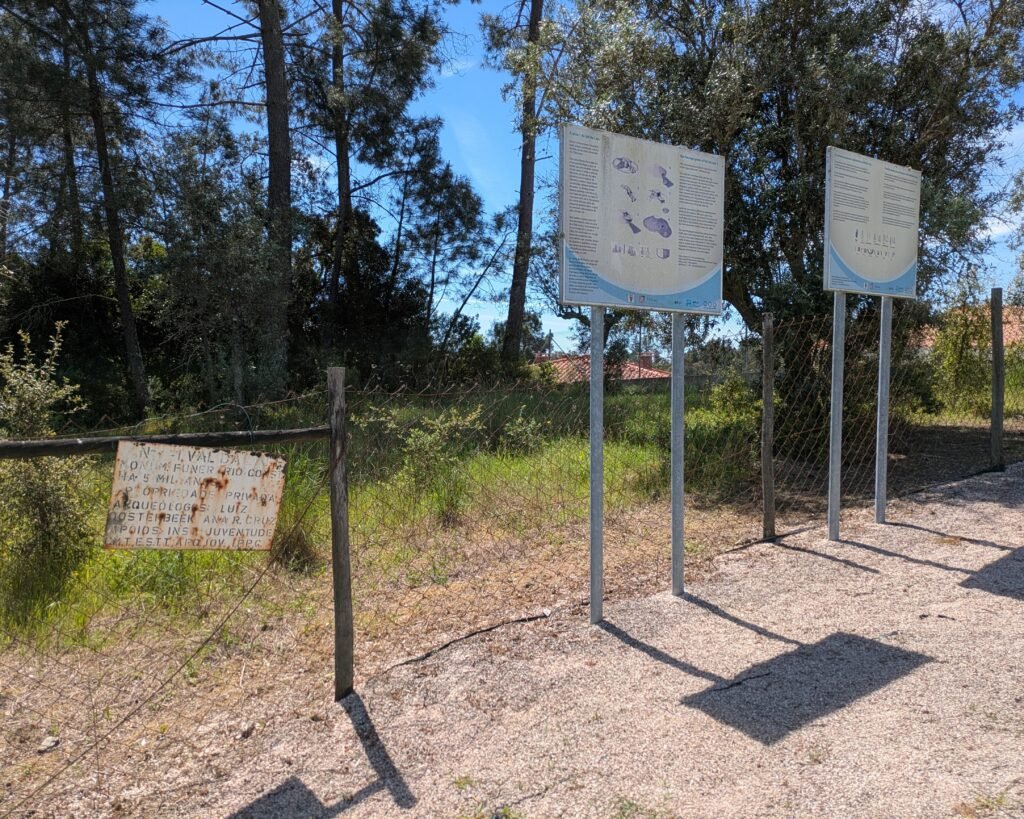
Walk around the grey stones, noting the structure both in the centre and surrounding it. This was an incredibly important construction for thousands of years, used by people for burials and possibly more. The current buildings around it seem oblivious: do the people who live in these houses (or at least come to visit the nearby reservoir on holiday) know the ancient grandeur the site would have had?
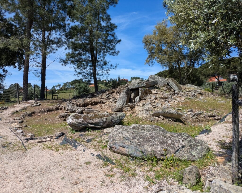
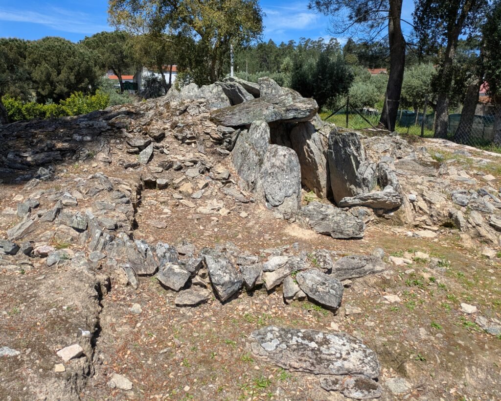
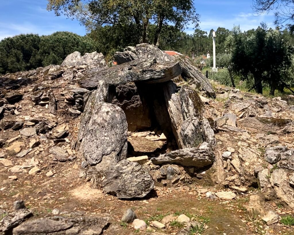
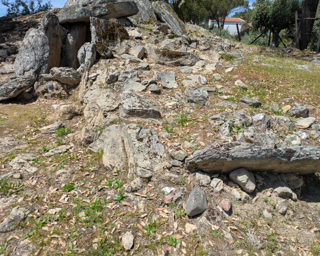
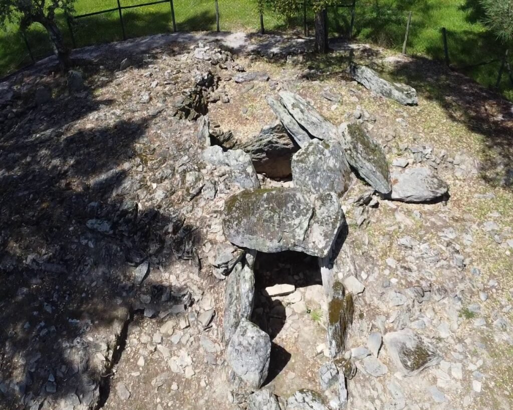
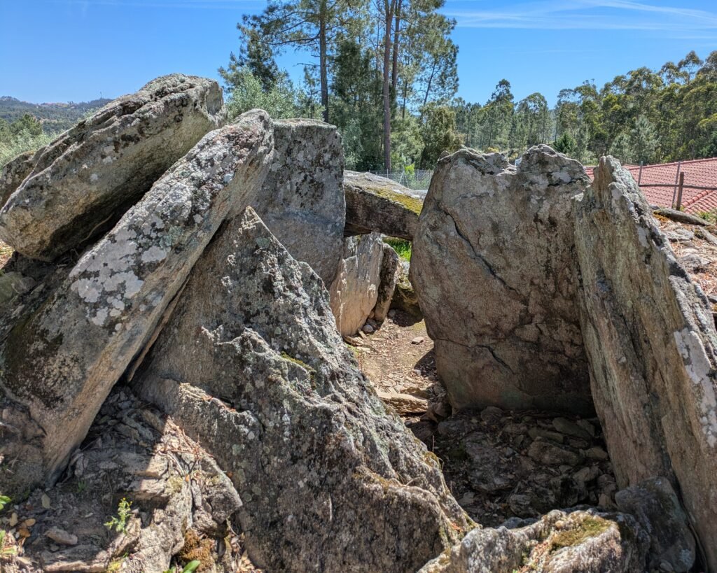
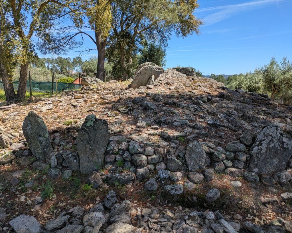
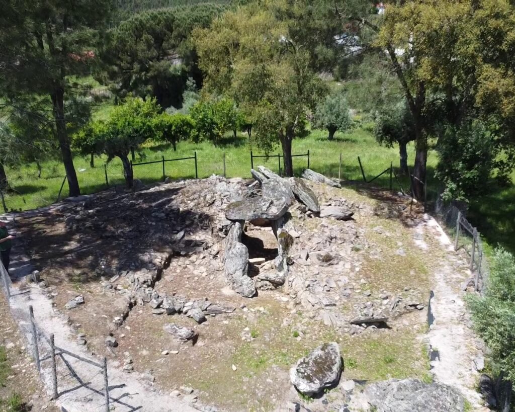
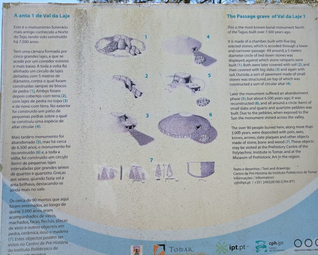
This anta (“dolmen” in English) is the oldest in the region, over 6,500 years old. (There are some sources that date it as over 7,500 years old, but I can’t verify those.) Originally, there was a group of five antas in close proximity to each other. This one was the largest of the five, and the only one that has not been destroyed. It is officially “Anta 1” of the group. The anta has a polygonal (pentagonal) chamber, with a short access corredor facing East, slightly off-center from the chamber. The anta’s total length is 5.8m. The surrounding stone and soil mound, survives in a reduced state. It is ovoid in shape: about 9m by 10m. The capstones have been broken and displaced.
After it was built and used for centuries, the anta fell into disuse and the tumulus was degraded somewhat. It was later reused and the tumulus rebuilt as a stone cairn, and there is evidence that the cairn was surrounded with white quartzite stone slabs and pebbles, which would have shone in the sun and been visible from a distance.
Much later again, during the Bronze Age, it was reused for burials, without any change to the structure. This would have been about 3,700 years ago.
The anta was discovered and excavated in the early 1990s. It was again excavated in 2017, and this excavation is ongoing. Many artefacts were recovered. Besides human bones of around 90 individuals, carved schist plaques were found alongside stone tools and microliths. Pendants and beads, as well as pottery, from the original period have been found. Ceramics from later periods, including bell-shaped pottery, were also found.
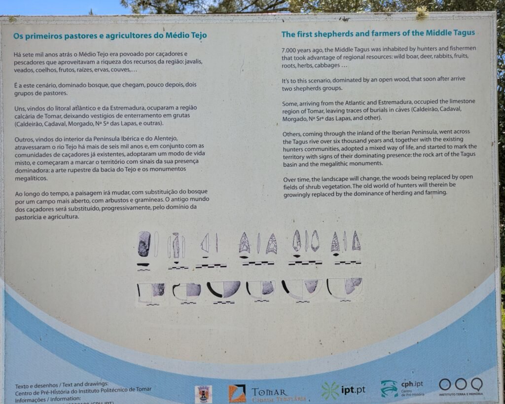
The excavations and analysis done on the site not only have revealed much about its construction and use, but also on the culture and environment of the times in which it was used.1 For example, through a detailed analysis of ceramics found during the construction phase of the anta, archaeologists have found the first evidence of domestication of cattle and the use of dairy products in people’s diet.2
Despite the site’s age and longevity of use, it has not been officially classified even as a Property of Public Interest. Construction of houses continues right up to the fence around the property.
Location
The anta is in the district of Santarém, municipality of Tomar. It’s in the parish of Serra e Junceira, near the town of Casalinho. This is on the north side of the reservoir (“Albufeira”) of Castelo de Bode, along the Zezere River.
GPS coordinates: 39.556261, -8.302247
Access
The anta is easily reachable on a tarmac road through a lightly populated neighbourhood. There is a church just up the hill that has parking spaces, the walk down is not steep and is along the paved road. There is a gravel path all around the anta, with a moderate gradient. There is a fence around the site, but the gate is open and entry is free and unrestricted. (Please respect the site when you enter: don’t damage the structure or remove any stones.)
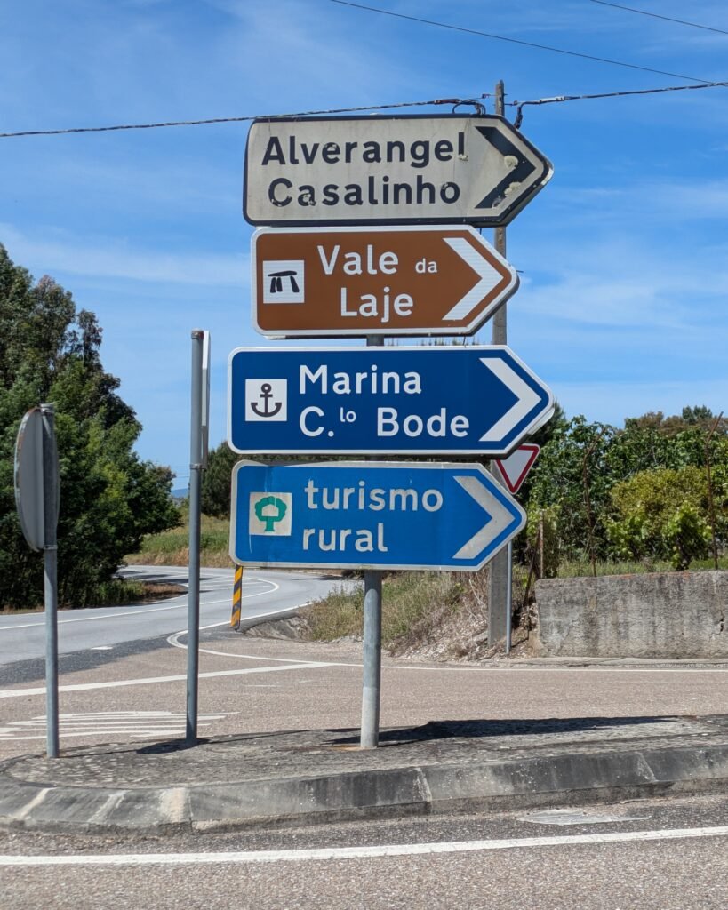
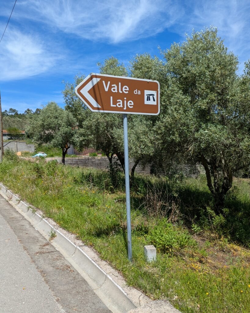
Signage
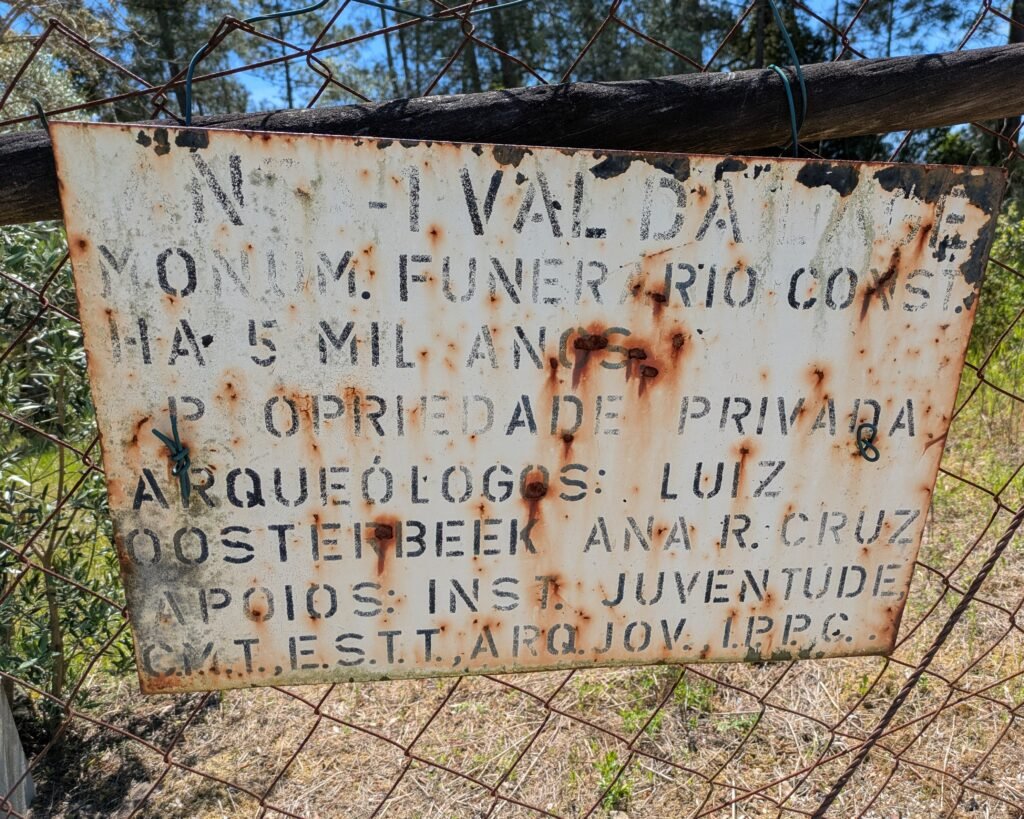
There are signs in the area directing you to the monument. The sign on the gate is fairly illegible, but their are information signs inside the gate.
Links
- Article (in English) from Wikipedia
- Entry (in English) in the Megalithic Portal
- Article (in Portuguese) about excavations (2017) from MedioTejo.net
- Article (in Portuguese) about nearby construction work (2020) from MedioTejo.net
- Article (in Portuguese) from Jornal de Arqueologia
- Description (in Portuguese) from Archaeologist’s Portal of Directorate-General of Cultural Heritage
- Designation (in Portuguese) as “in process of classification” by the Directorate-General of Cultural Heritage
- Entry (in Portuguese) in the database of the Directorate-General of Cultural Heritage
Nearby
The Antas de Jogada are on the opposite side of the reservoir, but are on private land and not publicly identified. The Anta de Azurrague is about 30km away to the East, and the Rego da Murta site (antas and menires) are about 30km away to the North. A little more than 30km away to the South East is the Anta da Foz do Rio Frio.
Sources
- Adewumi, Opeyemi. (2021). Bridging Sciences and Cultural Heritage: A Case Study of Anta 1 de Vale da Laje Megalithic Monument, Conference: The European Cultural Heritage in the Culture 2027 Network, Tomar, Portugal. Pages 61-68 ISBN – 78-972-8043-79-7 (https://www.researchgate.net/publication/359014180_Bridging_Sciences_and_Cultural_Heritage_A_Case_Study_of_Anta_1_de_Vale_da_Laje_Megalithic_Monument_Tomar_Portugal) ↩︎
- Stojanovski et al, Anta 1 de Val da Laje – the first direct view of diet, dairying practice and socio-economic aspects of pottery use in the final Neolithic of central Portugal, Quaternary International, Volume 542, 2020, Pages 1-8, ISSN 1040-6182, https://doi.org/10.1016/j.quaint.2020.02.016. (https://www.sciencedirect.com/science/article/pii/S1040618220300586) ↩︎
Pingback:Anta de Azurrague - Prehistoric Portugal