Walking through the fields in this Alto Alentejo countryside, horses gambol around you. Splash across the small stream and look up at the hill before you. A towering eucalyptus tree near its top stands out in the landscape, and you make for it. As you climb the hill, the trees clear out and you see the stone structure before you. For at least five thousand years it has stood here, and it still impresses. Walk around it and marvel at the huge capstone which perches on only two supporting stones. For how many more thousand years will it stay there, balancing?
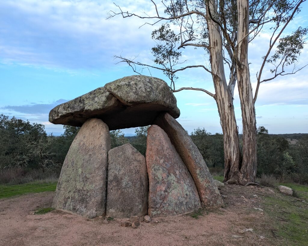
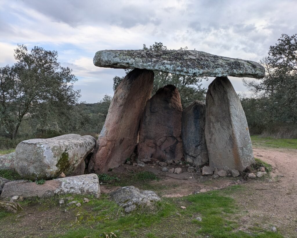
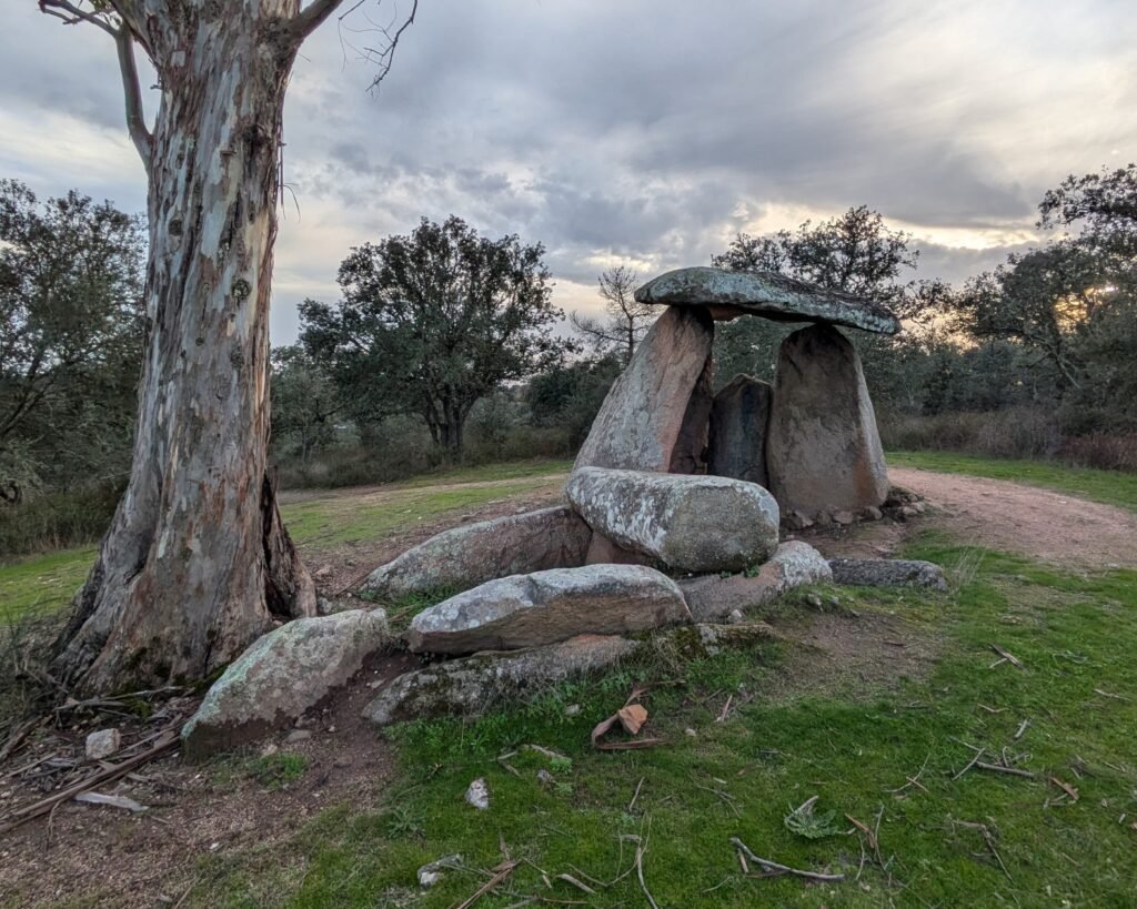
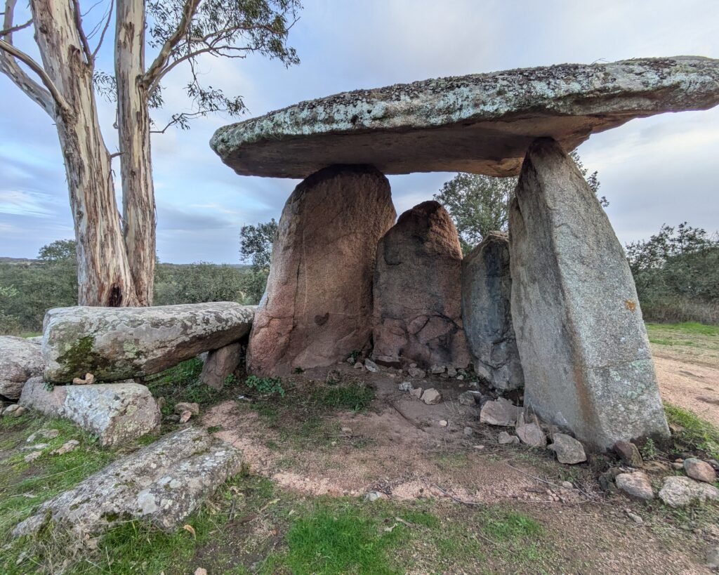
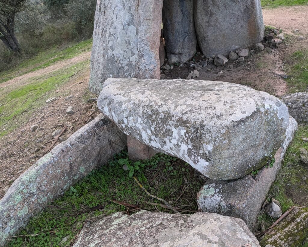
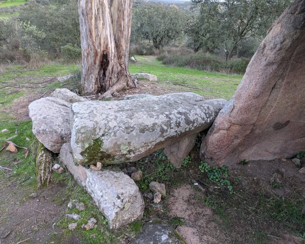
This is an anta (dolmen) with a polygonal chamber – with only four orthostats (upright stones) remaining, all on the same (south) side. The huge capstone is balanced on only two uprights, at least 3m from the ground. The stones are pink granite, from the region around Monforte to the north. There are some stones remaining from the corridor, including one corridor cover – which seems to be a repurposed menir.
The anta was declared a National Monument as part of the Fontalva Necrópole, along with the Anta do Olival do Monte Velho and Antas 1 and 2 of Dom Miguel.
Location
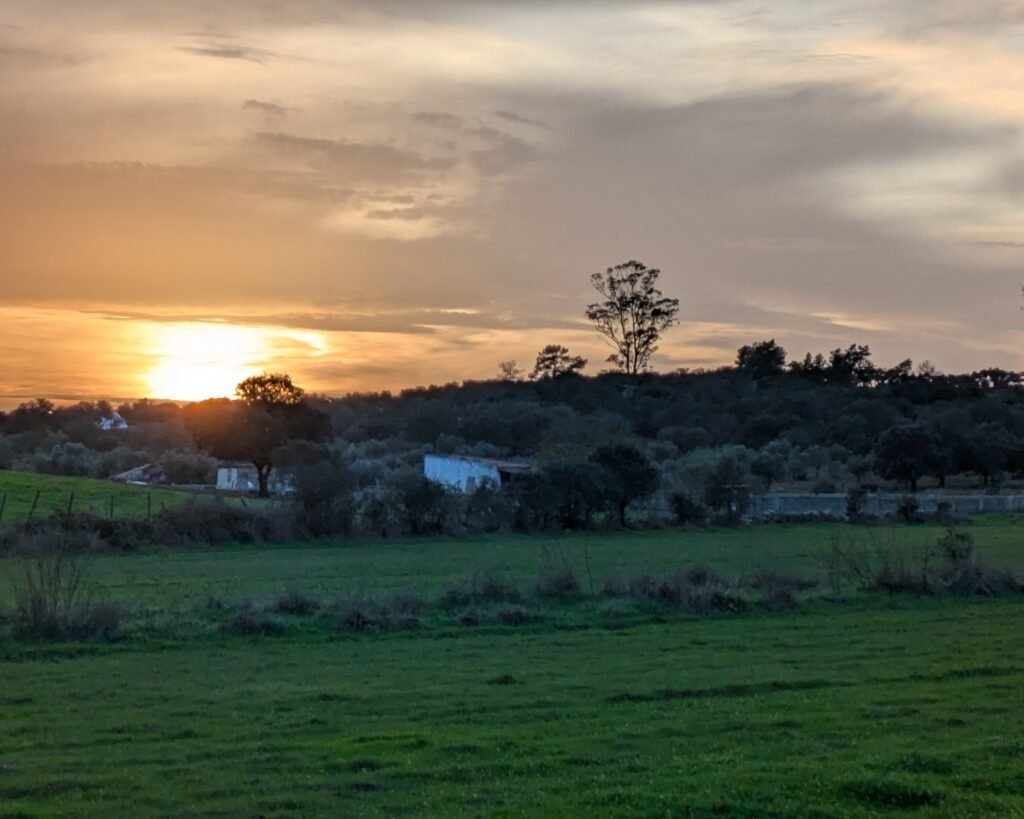
The anta is in the Alentejo region (upper Alentejo), district of Portalegre. It’s in the municipality of Elvas, near the village of Barbacena. The anta is a few hundred meters off the main road between Elvas and Monforte, north of Barbacena. It’s on a hill, with a huge eucalyptus tree standing above it.
Access
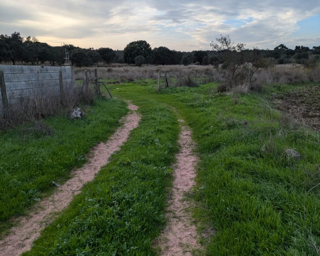
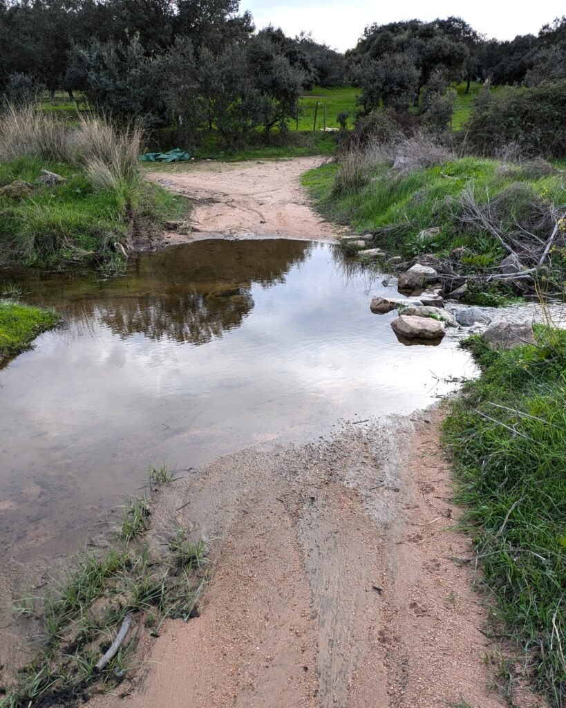
The anta is on private land, but roads (dirt tracks) go to it with no gates or gates that are not locked. You can only reach it by vehicle if you have 4WD and good clearance. You have to cross the Ribeira (stream) da Coutada, which is done most easily on foot. The tracks are easily walked, with little climbing. (The route of the track can be found on Wikiloc.)
Signage
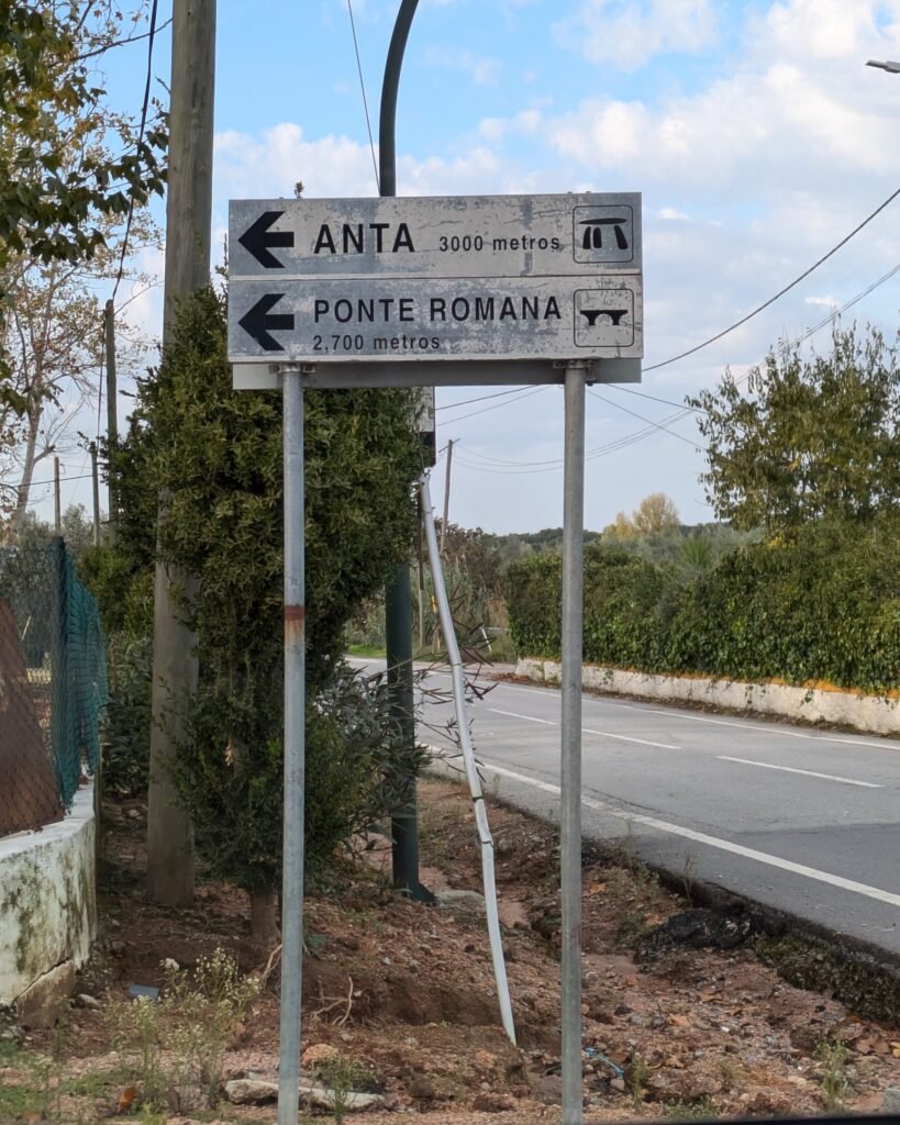
There is a sign just outside the village of Barbacena (on the road to Monforte), directing you to the anta (3km away). This takes you down a dirt track which is very rutted/bumpy but mostly passable …but in wet weather may have many deep puddles. (Good clearance and/or 4WD would then be needed.)
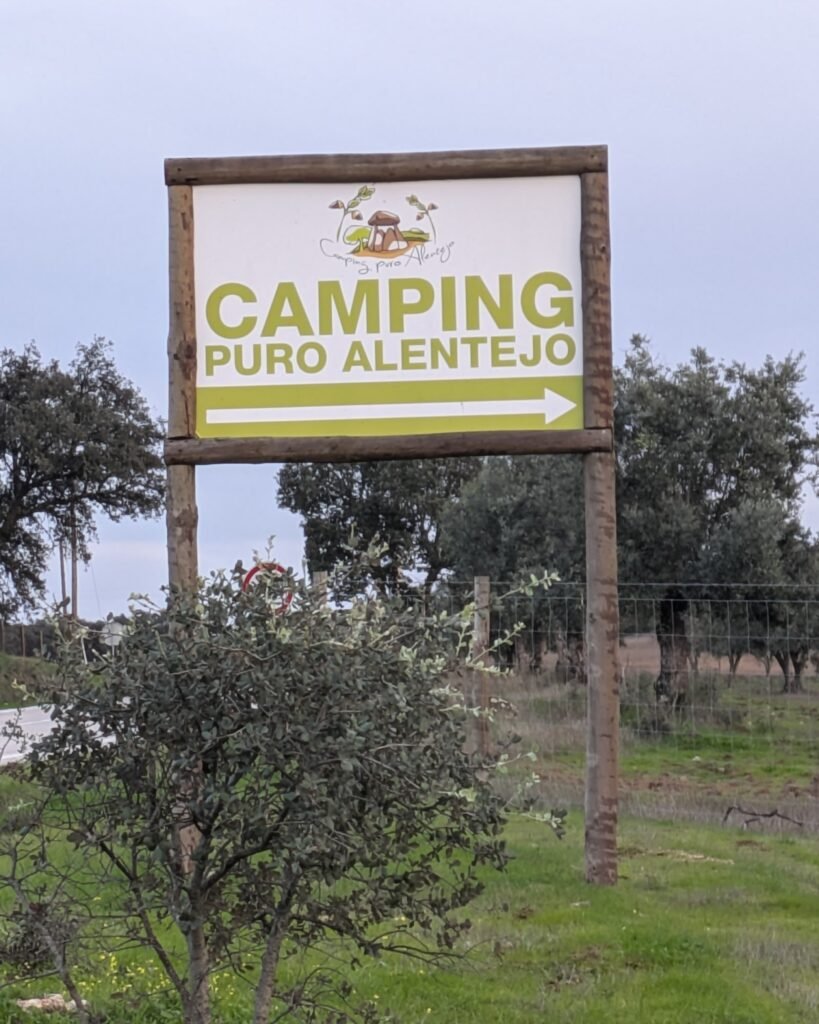
Alternatively, head up the road towards Monforte and about 2.5km along there is a sign for Camping Puro Alentejo (with a painting of the anta on it). Turn left down the dirt road. Unless you have 4WD, you will need to cross the Ribeira (stream) da Coutada on foot, and the anta is about 600m from there.
Links
- Entry (in English) from the Megalithic Portal
- Map (in Portuguese) from Portugal Megalítico
- Blog post (in Portuguese) from archaeologist Leonor Rocha
- Directions and description (in Portuguese) on Wikiloc.
- Description (in Portuguese) from Archaeologist’s Portal of Directorate-General of Cultural Heritage
- Designation (in Portuguese) as a National Monument by the Directorate-General of Cultural Heritage
Nearby
There are many prehistoric sites in the area, although many are on private lands and not easily visitable. There are a few sites around the town of Monforte (about 20km away), and around Elvas (20km away the other way). In Elvas, the Archaeological and Ethnographic Museum is highly recommended.

Pingback:Museum of Archaeology and Ethnology of Elvas - Prehistoric Portugal
Pingback:Santa Vitória - Prehistoric Portugal