
Portuguese name: Cromeleque do Vale Maria do Meio
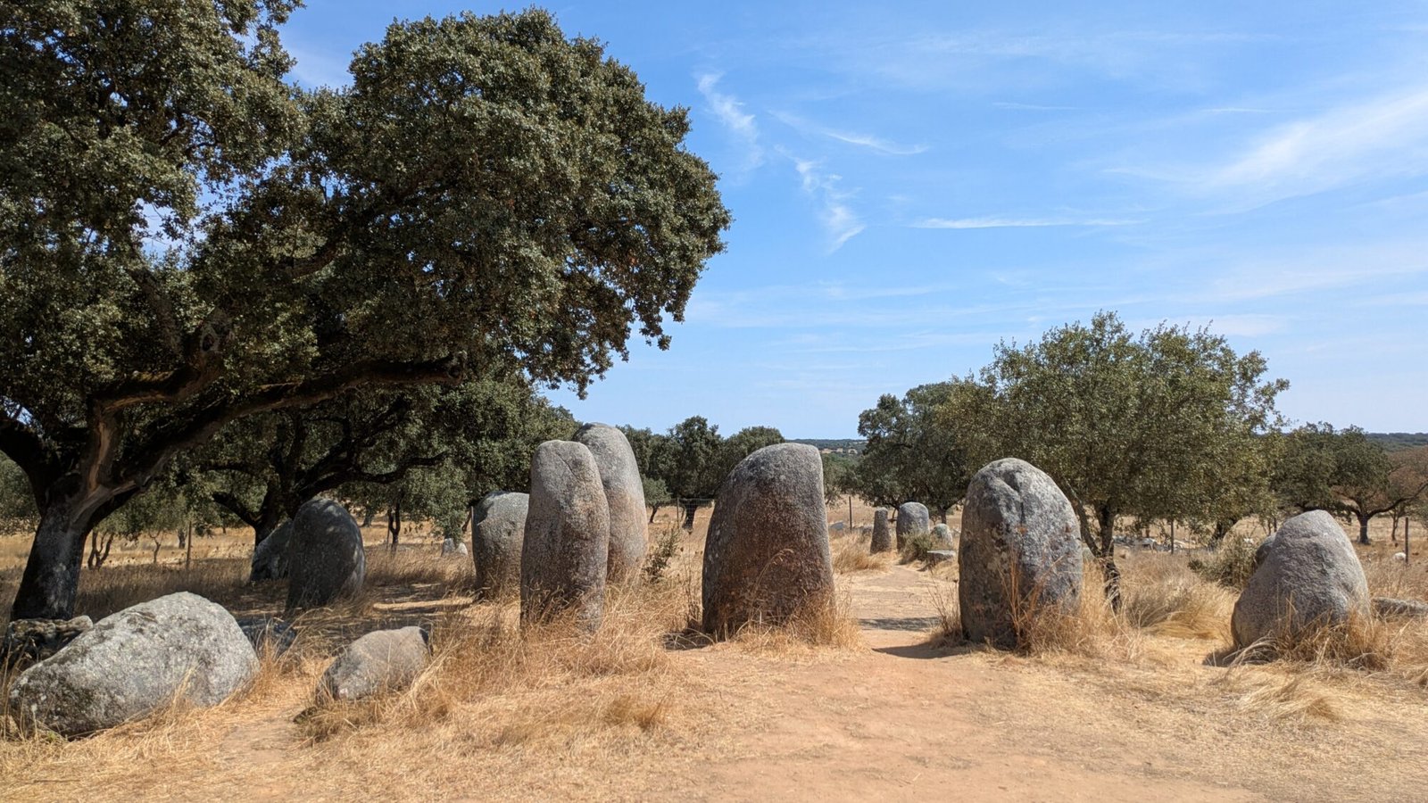
Nestled in a cork oak forest, the stones stand in an elongated group. The hot breeze blows past them and through the trees, making the leaves tremble and rustle slightly. That’s the only sound you hear, along with the buzz of insects. The stones reflect the intense Alentejo sun, giving off their own heat. They have stood here for thousands of years and will be here forever. Or is that a fact?


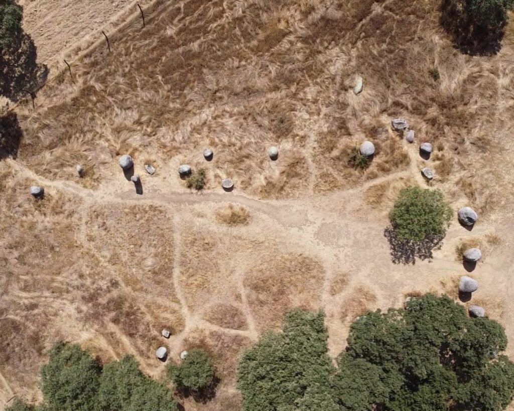
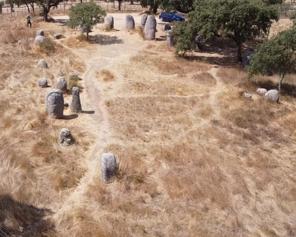
This cromeleque, or stone circle, was only “discovered” in 1993, and was excavated by Manuel Calado and students from the University of Lisbon in 1994. The stone arrangement had seemingly been demolished by the millennia of agriculture in the area (possibly dating back to Roman times). The cromeleque was restored, righting fallen stones during the excavation. Experimental archaeology was practiced: the team used only tools available at the time to re-erect some of the stones. (See video here) The site was only given protection and declared a national monument in 2013.
Some of the stones have carvings, including circles and crescents, similar to other cromeleques nearby. The cromeleque is oriented East-West, with the largest stones at the western & highest end.
Location
The cromlech is in the Alentejo, district of Évora, district and municipality of Évora, parish of Nossa Senhora da Tourega e Nossa Senhora de Guadalupe. It’s in a field just off the EN370 between the A6 motorway and the town of Nossa Senhora da Graça do Divor.
Access
There is a dirt farm track to the cromlech, without gates. There are a few dips which can get muddy, and a raised section which could stop buses (but vans and motorhomes can get across). You can park next to the cromlech and then walk around the stones freely.
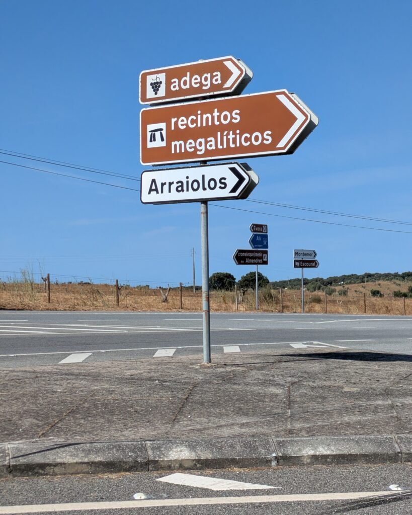
Signage
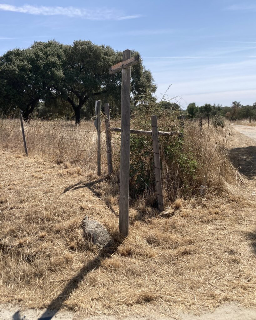
From Évora (or the Almendres cromlech), you head out West on the N114 and then turn North onto the EN370. (Follow the sign for “Recintos Megaliticos” – megalithic enclosures.) After 2km, there’s a very clear sign on the N370 that directs you up the dirt track that leads South to the cromlech.
Update September 2025: The sign is broken. The turnoff is not marked at all. Use GPS coordinates 38.628506, -8.015590 to find the turnoff. It’s 9km from the turnoff from the N114.
Links
- Wikipedia article in English
- Entry in the (English) Megalithic Portal
- A video tour (in English) by MegalithomaniaUK
- A video (in Portuguese) that shows the re-erection of a menir by students under Manuel Calado’s direction (from Montemar-o-Novo)
- 3D Model (no language) by Luís Câmara on Sketchfab
- Description (in Portuguese) by the Archeological Portal of the Portuguese Government Directorate-General of Cultural Heritage
- Designation as a national monument (in Portuguese) by the Director-General of Cultural Heritage
Nearby
There are many sites nearby, including the Cromlech of Portela de Mogos and the two Antas of Valeira. These are on private land, but are on a “Megalithic Circuit” which indicates that they are accessible. Unlocked gates allow access, but should be left in the same state they are found. Note that the red and white signs also indicate hunting routes. (Be careful of hunting days – wear the high-viz vest from your car!) You should ask permission if you see the landowners.
Sources
Calado, Manuel. “O Recinto Megalítico de Vale Maria Do Meio (Évora, Alentejo).” Muitas Antas, Pouca Gente? – Actas Do I Colóquio Internacional Sobre Megalitismo (Trabalhos de Arqueologia 16), edited by Victor S. Gonçalves, Reguengos de Monsaraz, Institute Português de Arqueologia, Oct. 1996, pp. 167–182.
Calado, Manuel. “Vale Maria do Meio e as Paisagens Culturais do Neolítico Alentejano.” Paisagens Arquológicas a Oeste de Évora, by Câmara Municipal de Évora, Câmara Municipal de Évora, 1997, pp. 35–39. ISBN: 972-96965-4-3
Pingback:Welcome to Prehistoric Portugal! - Prehistoric Portugal
Pingback:Almendres Cromeleque - Prehistoric Portugal
Pingback:Cromeleque da Portela de Mogos - Prehistoric Portugal
Dear researcher
Thank you for your work in promoting the archaeological heritage.
Best wishes!