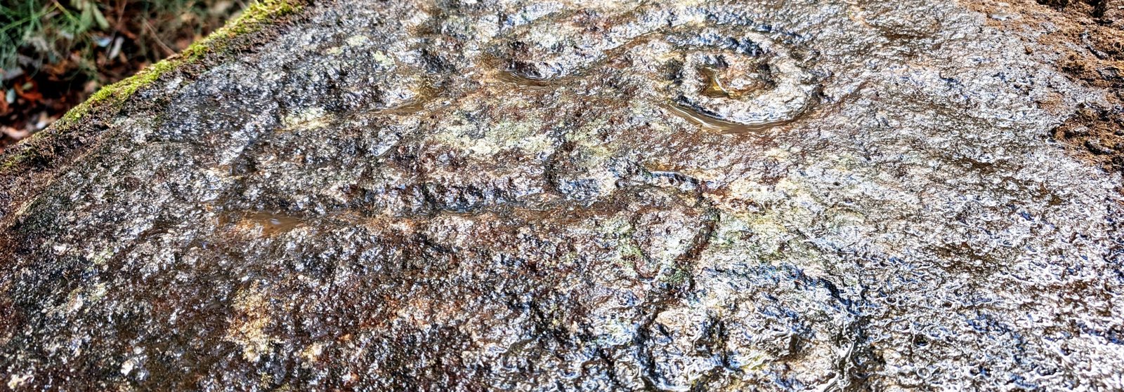
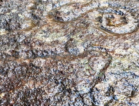

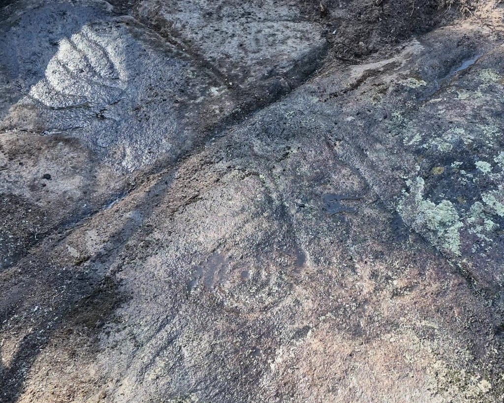
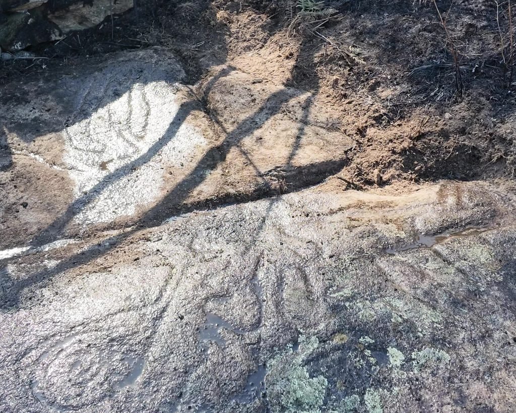
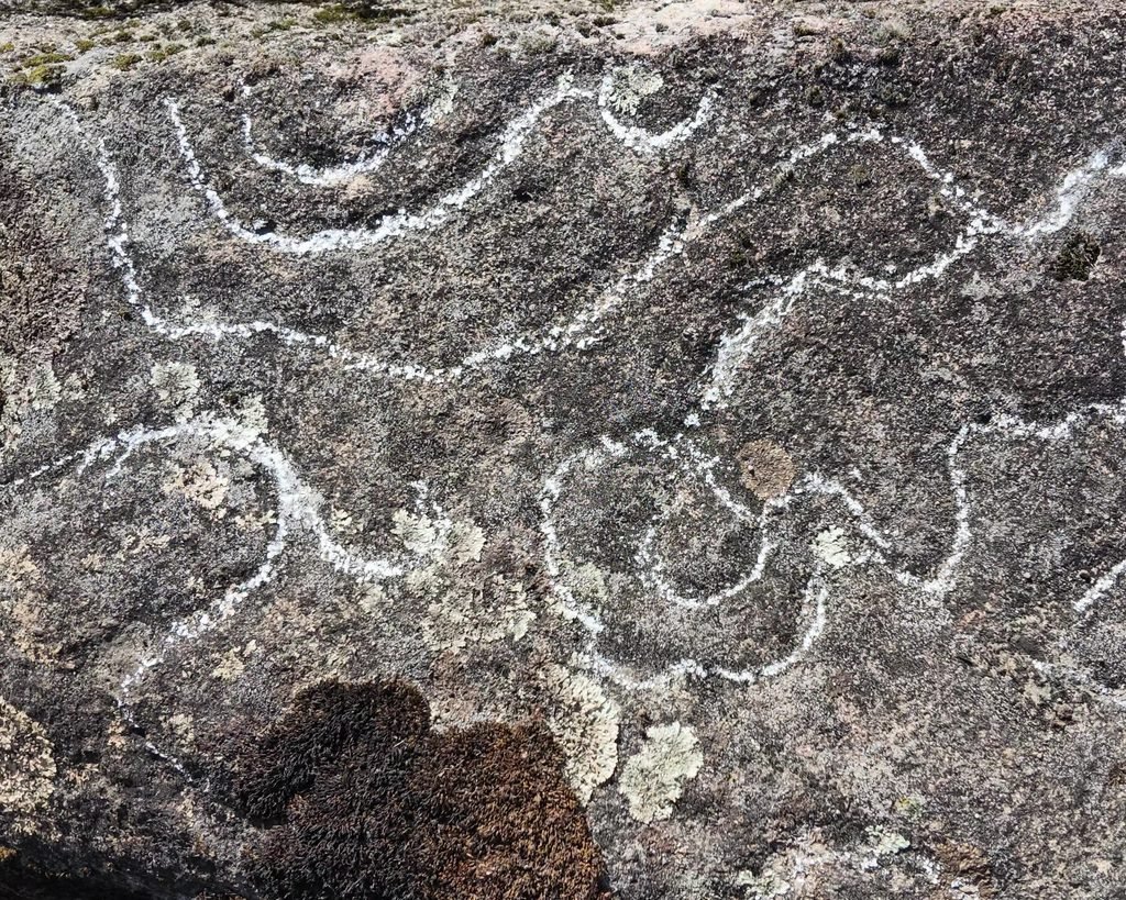
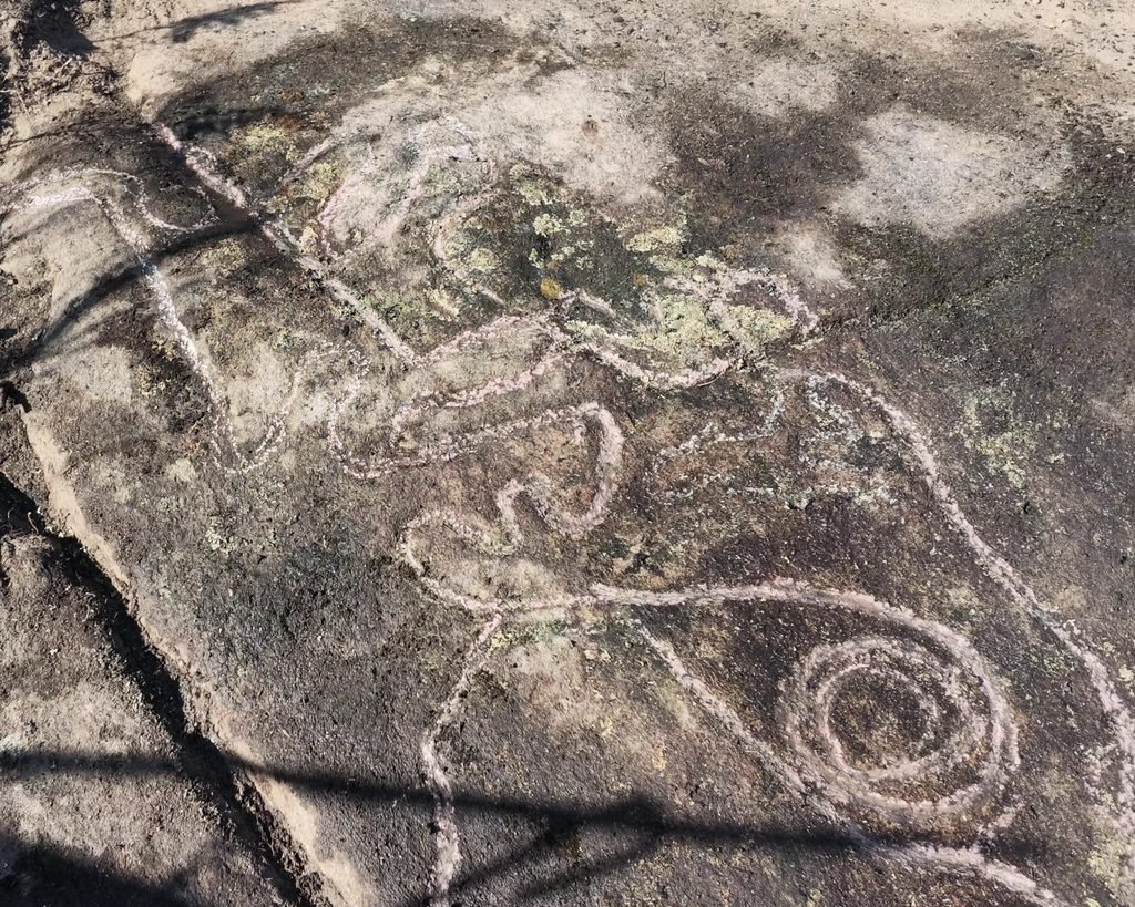
The shapes in the rock are hard to see, but trace them with your fingertips and you can follow them. Pour water on the stone, and the engravings fill with water. Curving, looping lines turn back on themselves and get wound up into spirals. The shapes are strange and seem to have no real meaning. But thousands of years ago, people went to great effort to peck and scrape these shapes into the rock on the hilltop.
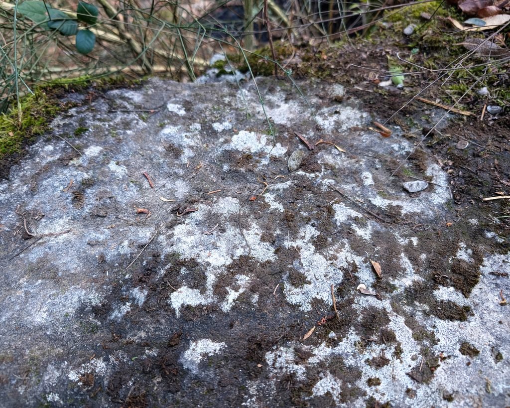
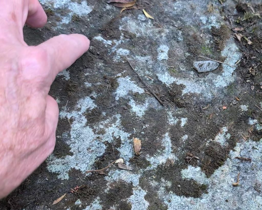
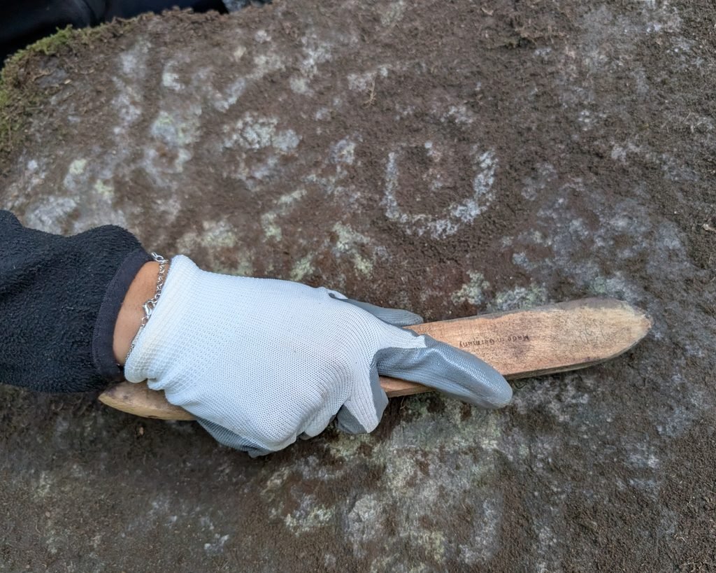
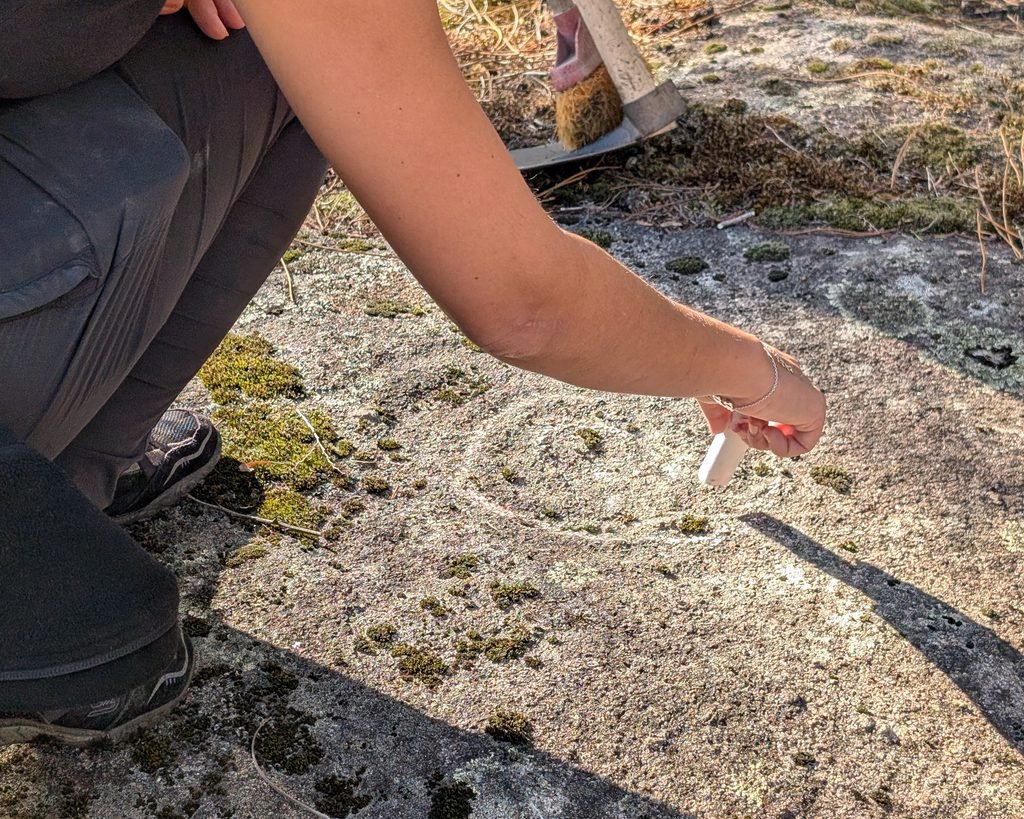
These engravings cover a number of rocks on the slopes of Monte Eiró. They are dated to the Chalcolithic period to the Bronze Age (3,300-1,200 BC). They are part of the Atlantic Art tradition, sharing features with other engravings around northwestern Portugal, Galicia in northern Spain, and Ireland and Britain. The engravings of Mount Eiró are fairly typical: concentric circles and spirals, meandering lines, etc. They are engraved into stones that are more or less horizontal, which means that dirt accumulates and lichens and other vegetation can cover them. They are particularly hard to see without any intervention: the landowners were happy to clear the stones and wet them, which highlighted the engravings. Chalk was used to mark the lines (which was also done in the initial investigations in the 1960s.)
The engravings were first identified in the early 20th century by Pedro Vitorino, who noticed four centres (“nuclei”) of engravings. This was confirmed by Domingos de Pinho Brandão in 1961. In the late 20th century, João Belmiro Pinto da Silva identified a fifth nucleus.1
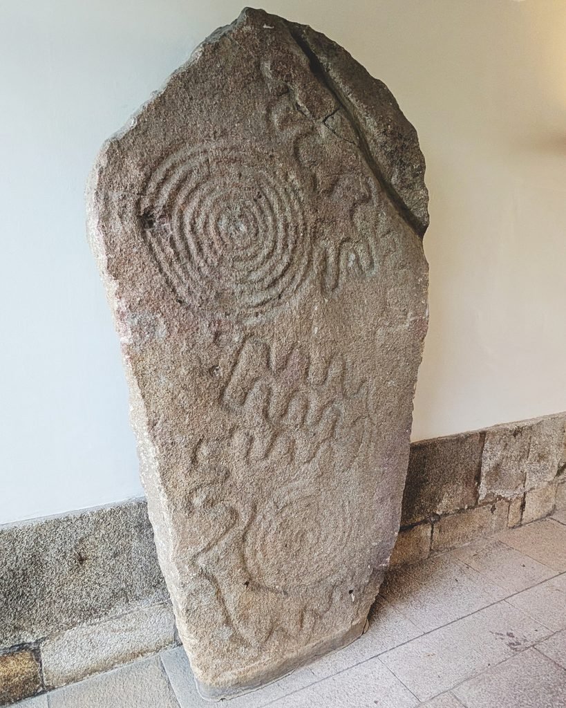
Monte Eiró 1: The main block of this nucleus was dug out and sent down the Douro river in 1910 by João de Vasconcelos, and was displayed in the municipal museum. (It has since moved to the National Museum of Soares dos Reis.) There is another engraving (“panel 2” of this nucleus) next to the place where panel 1 was cut out. There is also another panel a little further away with a single spiral.2
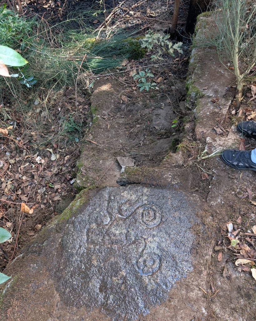
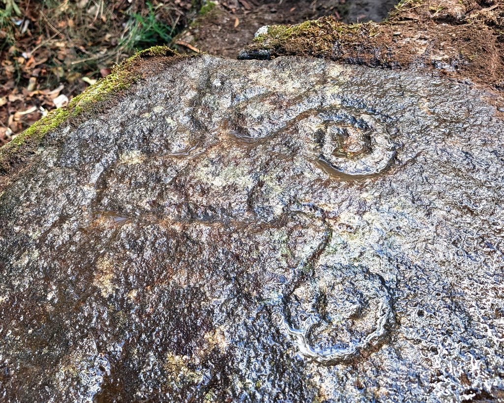
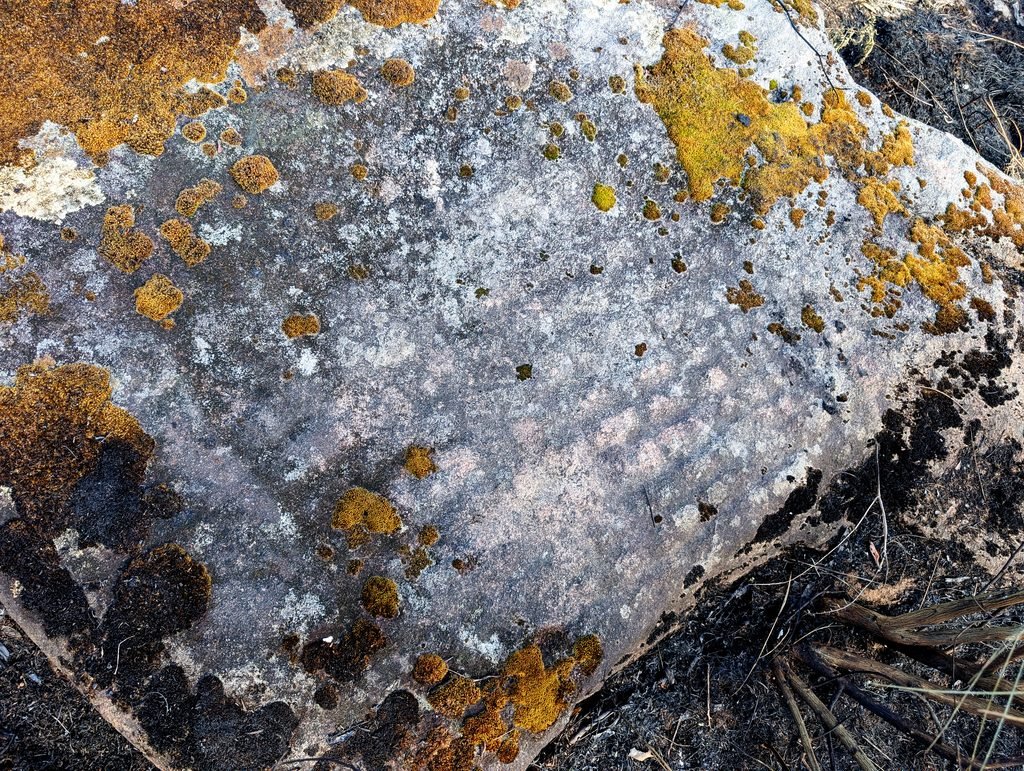
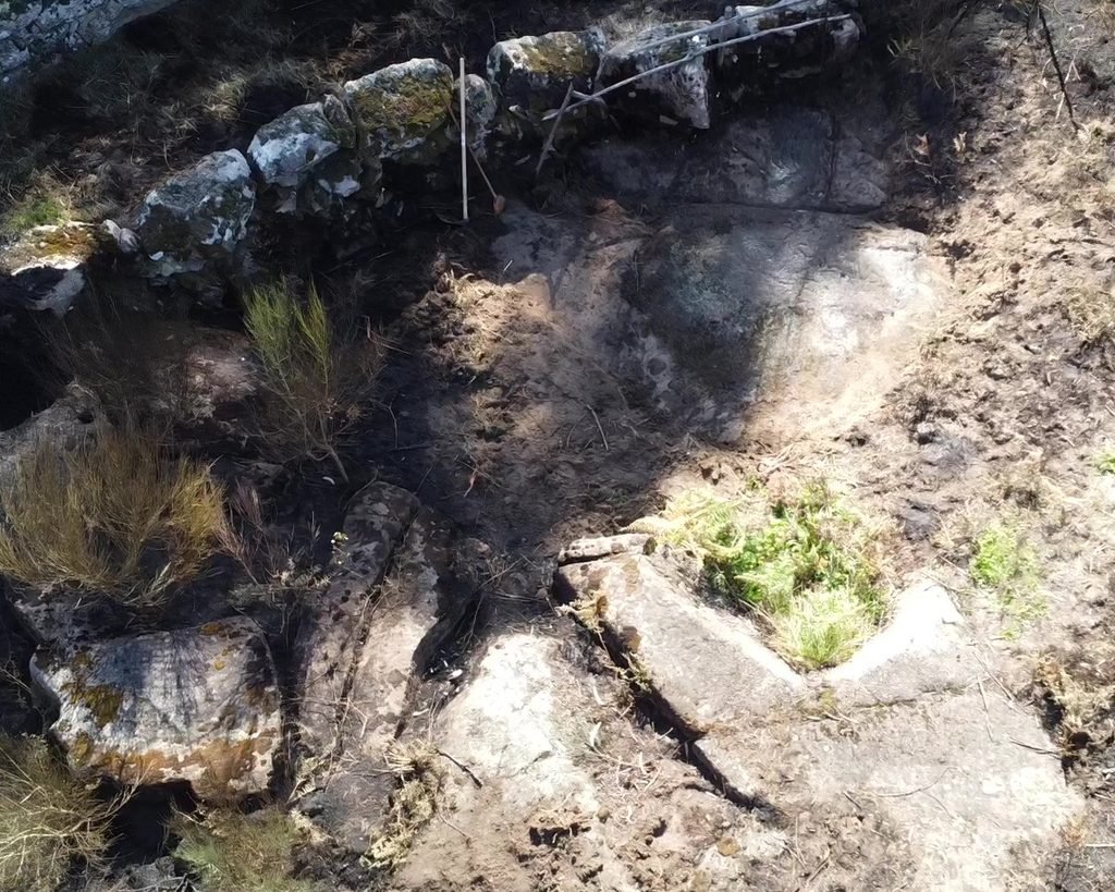
Monte Eiró 2: This is the largest and perhaps most easily seen nucleus. There are seven panels with spirals and waving/looping lines, and two panels which have rectangular grids (which the locals call a “calendar”).3
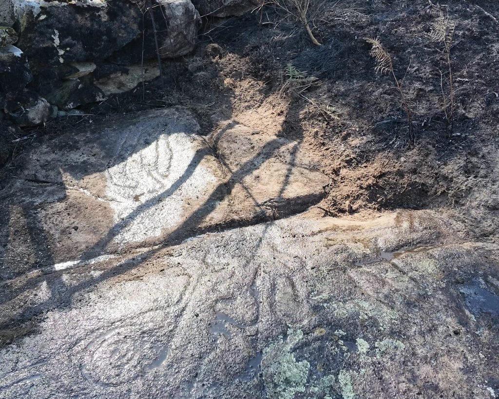
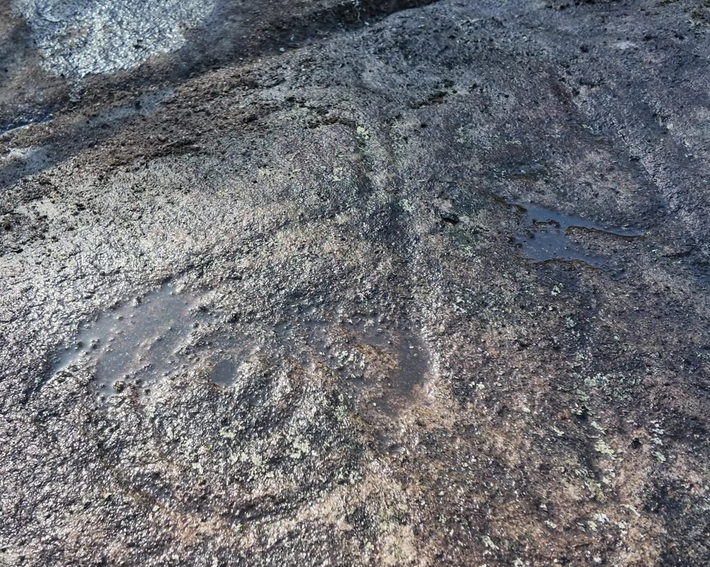
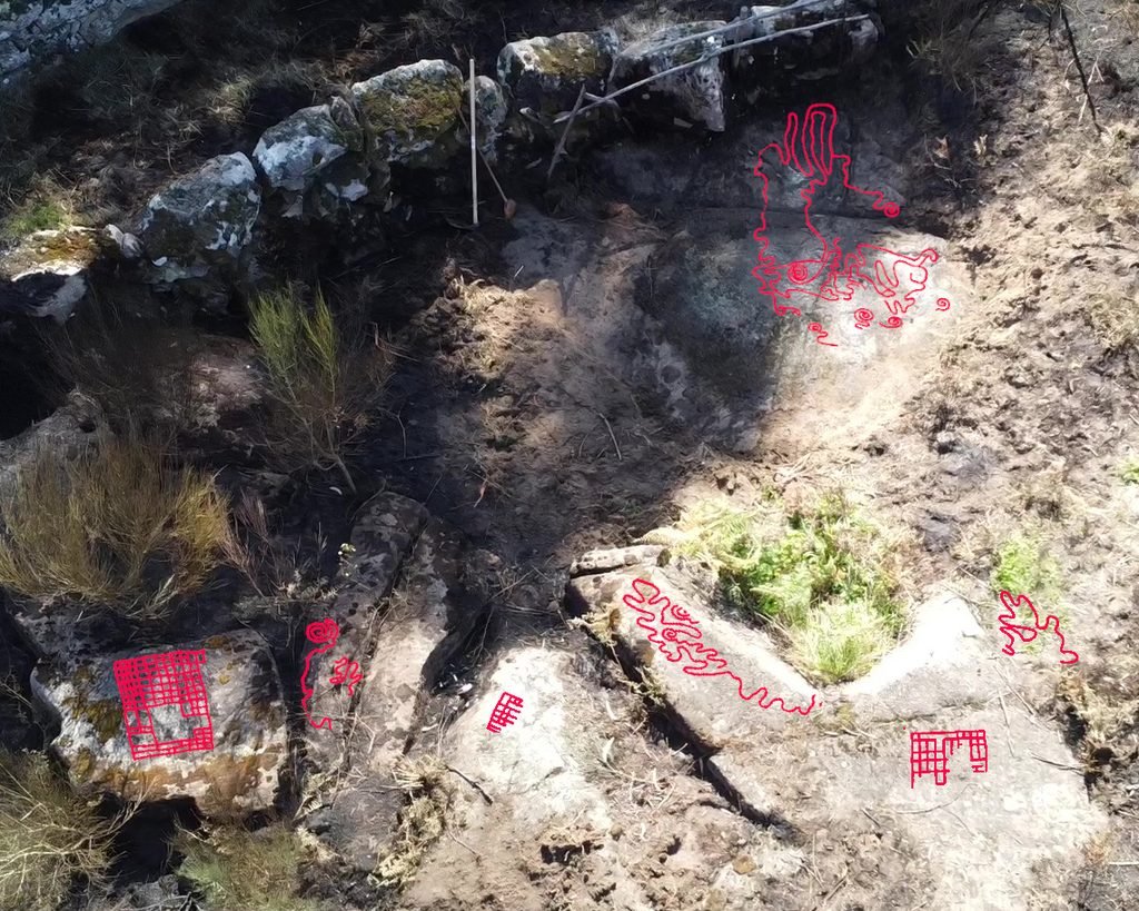
Monte Eiró 3 and 4: these panels were higher up the hill towards the peak and had only one engraving on each. We didn’t travel to see those.
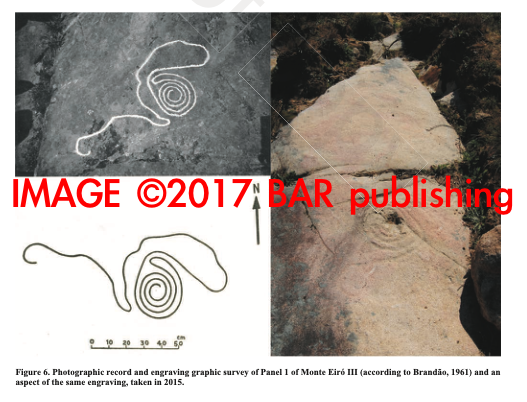
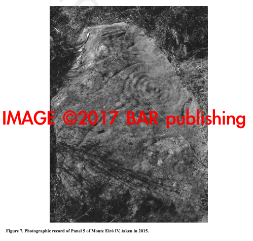
©2017 BAR publishing
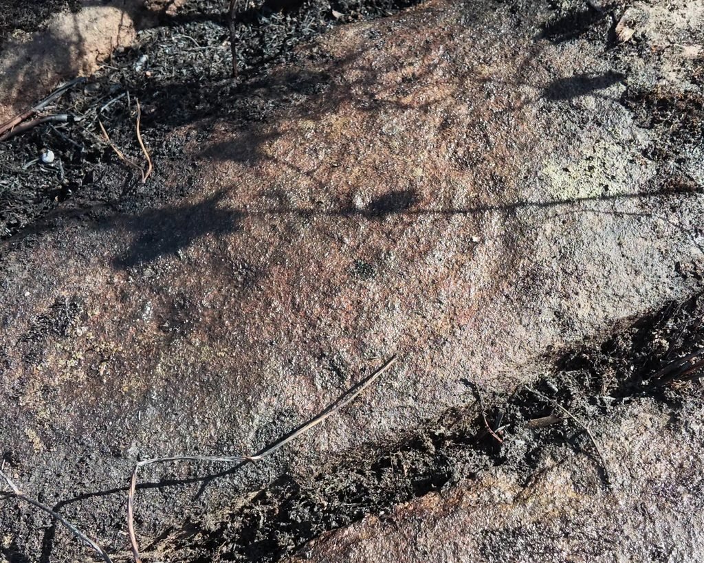
Monte Eiró 5: A large stone at some distance from the first two nuclei with very faint designs. These stones show some indication of being flattened out before the engravings were made.
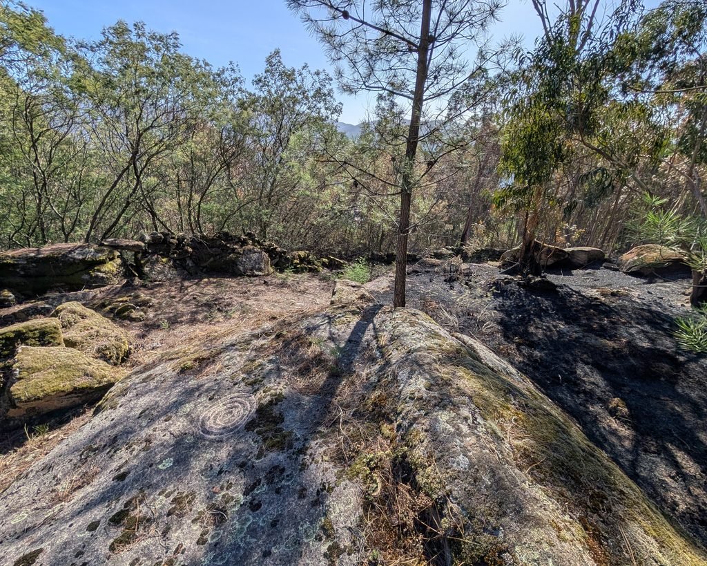
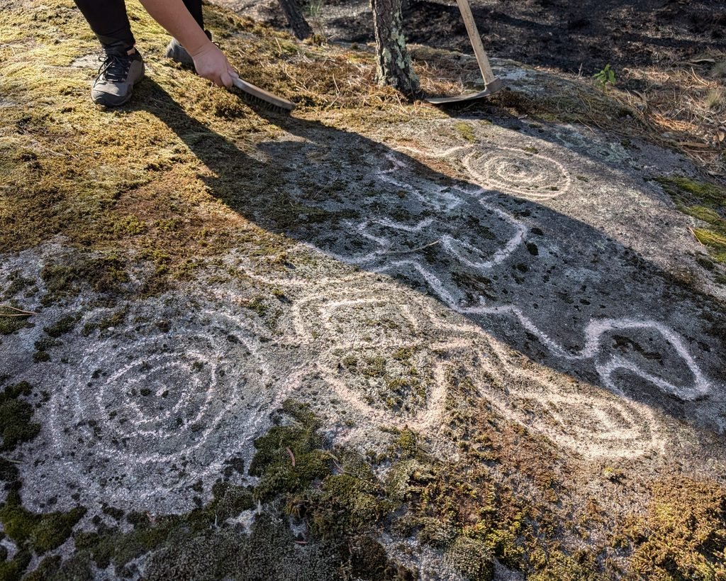
The engravings on this hillside/hilltop are very indicative of Atlantic Art: faint engravings on flat stones which don’t seem to have much of a commanding view of the surroundings. The meandering lines and loose spirals (or concentric circles) meander over an area, which suggests some purpose but it’s unclear what that is. Atlantic Art is typically dated to the Bronze Age, but it’s hard to date the engravings without serious depositions or analysis.
Location
Monte Eiró is in the Porto district, in the municipality of Marco de Canaveses, parish of Penha Longa, near the village of Piares. The specific locations of each stone are indicated in the research papers, but as they are all on private land I am not publishing coordinates here.
Access
The engravings are all on private land. There is no public access at this point. You could contact the tourism office of Marco de Canaveses for assistance.
Signage
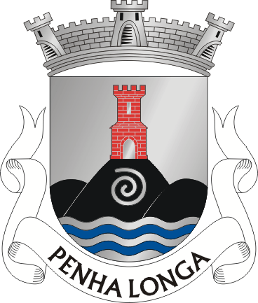
There are no signs indicating the engravings. Interestingly, the parish of Penha Longa includes a spiral in their heraldry: a classic symbol of Atlantic Art.
Links
- Description (in Galician) with photographs from Megaliticia blog.
- Description (in Portuguese) with a photograph of the rock in the Museu Nacional Soares dos Reis in Porto
- Podcast (in English) about Atlantic Art (not including Monte Eiró, but good background information)
Nearby
In the vicinity there are a couple of unexcavated Neolithic/Chalcolithic mamoas, or dolmens, as well as an Iron Age hillfort.
The Museu Nacional Soares dos Reis in Porto (about 70 km away) has one of the Monte Eiró stones on display.
Sources
- Planta Salvaguarda Patrimonial de Marco de Canaveses. Câmara Municipal de Marco de Canaveses, 2015, www.cm-marco-canaveses.pt/download/158/fichas-2015/2241/8_penha_longa_e_pacos_de_gaiolo.pdf. Accessed 24 Oct. 2026. ↩︎
- Sousa, Luís. “A Arte Atlântica de Monte Eiró (Penhalonga, Marco de Canaveses). Novos Dados Para a Sua Contextualização.” Oppidum, vol. 9, no. 8, 2015, pp. 9–22, www.academia.edu/34756284/A_arte_atl%C3%A2ntica_de_Monte_Eir%C3%B3_Penhalonga_Marco_de_Canaveses_Novos_dados_para_a_sua_contextualiza%C3%A7%C3%A3o. Accessed 13 July 2026. ↩︎
- Brandão, D. Domingos de Pinho. “O «Alto» Ou «Monte Do Castelo».” Trabalhos De Antropologia E Etnologia, vol. 22, no. 3, 1980, pp. 289–298, ojs.letras.up.pt/index.php/tae/article/view/8948. Accessed 24 Oct. 2026. ↩︎
- Sousa, Luís. “The Atlantic Rock Art of Monte Eiró (Penhalonga, Marco de Canaveses, North-West Portugal). New Background to Its Contextualisation..” Recorded Places, Experiencd Places: The Holocene Rock Art of the Iberian Atlantic North-West, edited by Ana M.S. Bettencourt et al., Oxford, BAR Publishing, 2017, pp. 99–107, www.academia.edu/41203631/The_Atlantic_rock_art_of_Mount_Eir%C3%B3_Penhalonga_Marco_de_Canaveses_Northwestern_Portugal_New_background_to_its_contextualisation. Accessed 15 Aug. 2026. ↩︎