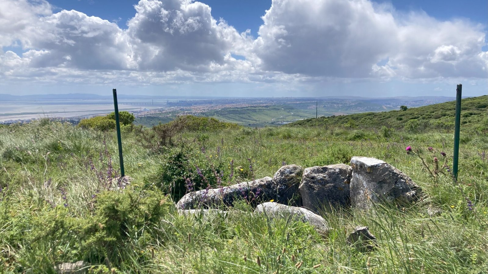
Also known as: monumento megalítico de Monte Serves
The wind blows gently through the tall grass on the hillside as you look out over the broad estuary of the Rio Tejo. Squint and you can see the Vasco da Gama bridge stretching across the water. Every few minutes you can see an aeroplane taking off from the Lisbon aeroport, and then fly overhead with a soft rumble. Despite having a wonderful overlook across to the bustline metropolis, you’re far enough off to enjoy the peace and quiet of the uninhabited hillside. Turn your gaze to the ground below you and you can see the small prehistoric tomb, squared off with limestone slabs. It’s been here for over five thousand years, and has seen the growth of the city beyond. What more will it see in the next five thousand?
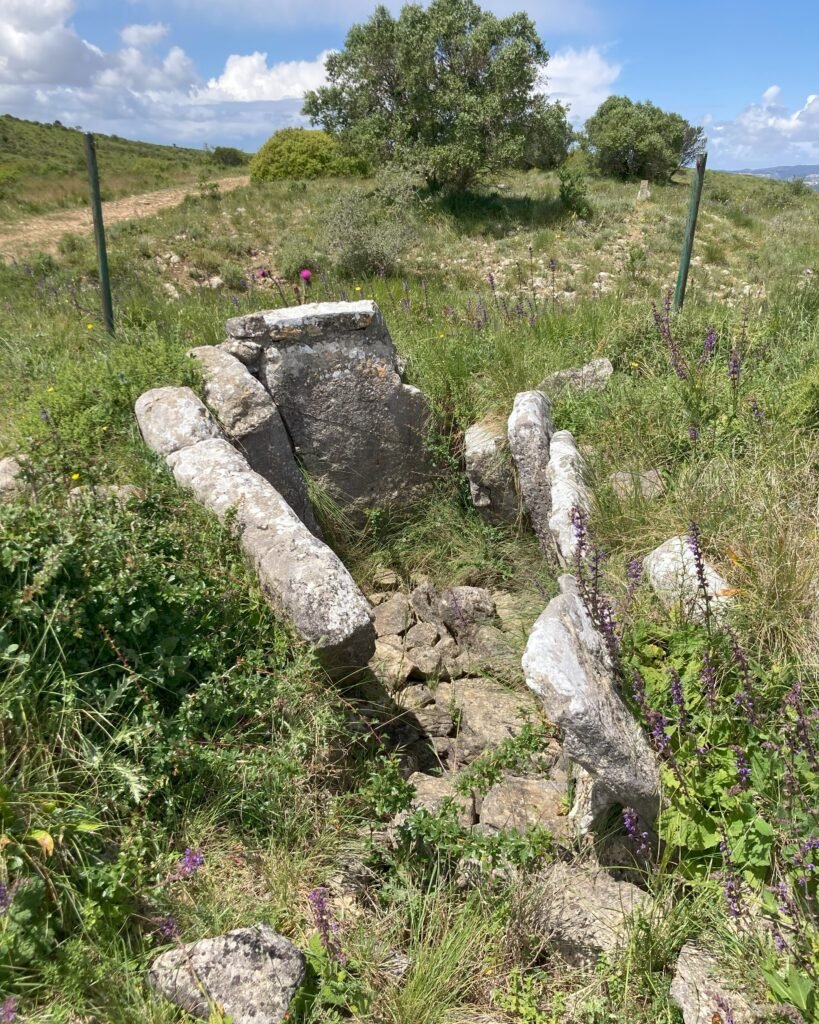
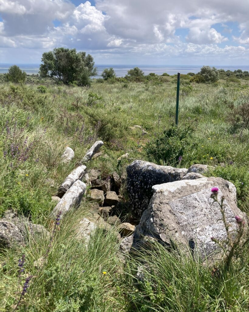
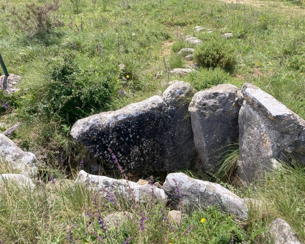
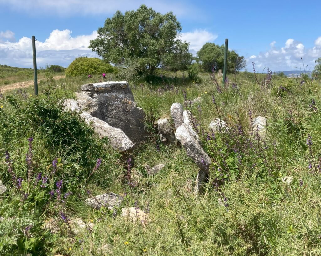
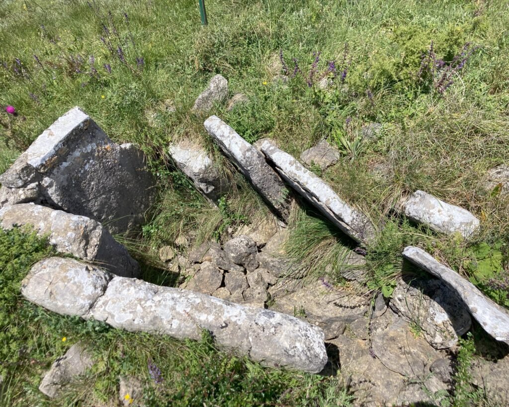
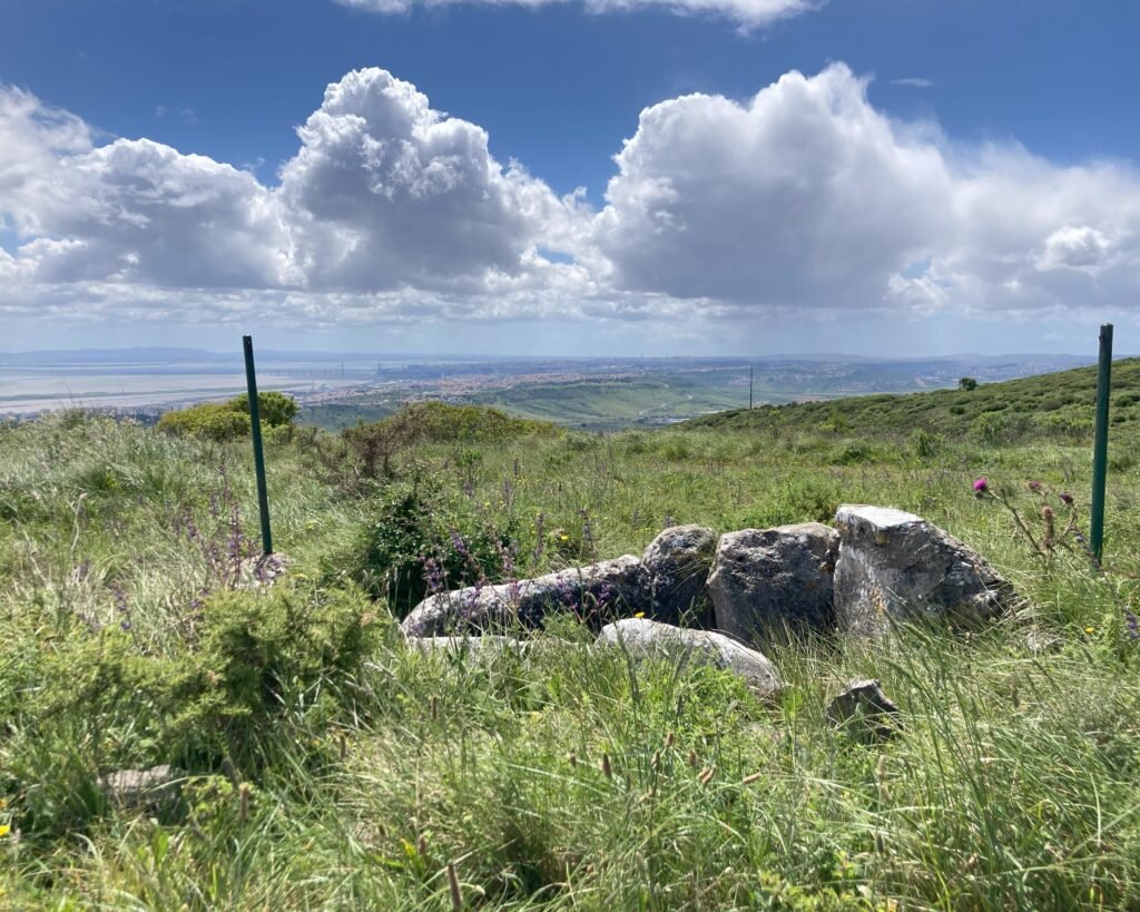
This is a small tomb dating back to the late Neolithic or the Chalcolithic period, in the 3rd millennium BC. It’s made up of limestone slabs which form a trapezoidal small chamber, with little or no passageway identified. There is some remaining evidence of its surrounding mound. It was first identified and excavated in 1972 and was further studied in 2014. It’s not officially protected with a national designation, but it is recorded as a “megalithic monument” and there is a plaque identifying it:
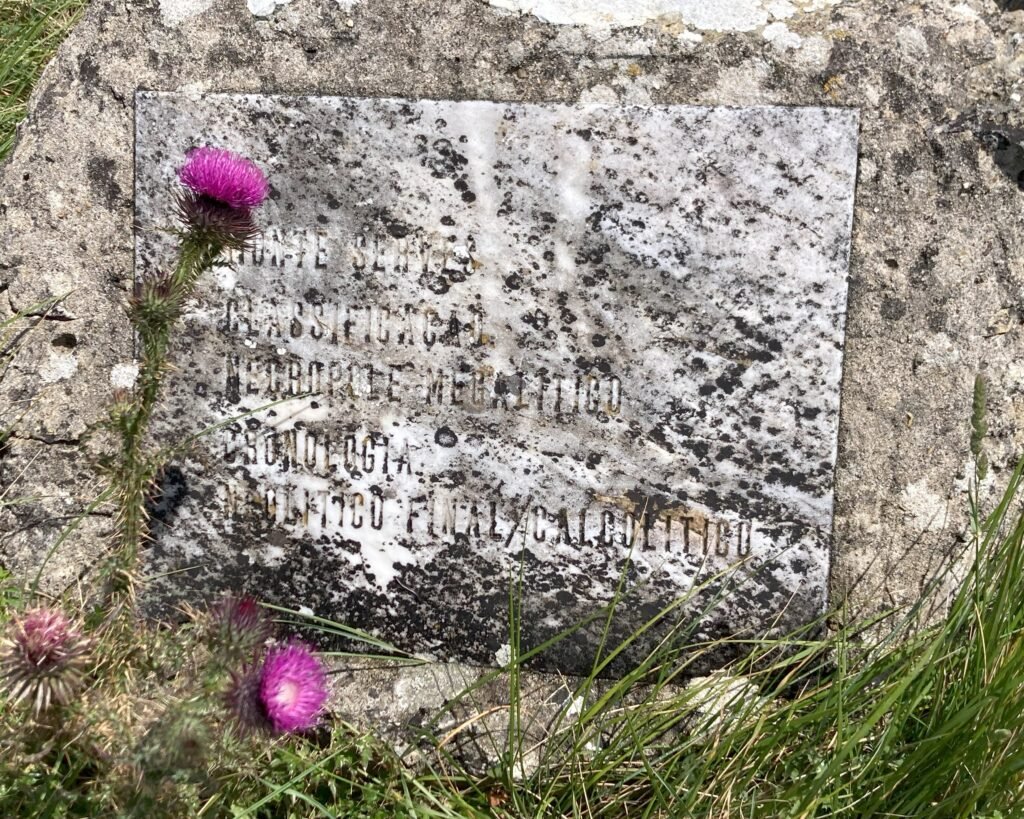
The plaque reads:
Monte Serves
Classificação: Necrópole Megalítico (“Classification: Megalithic Tomb”)
Cronologia: Neolítico Final/Calcolítico (“Time: Late Neolithic/Chalcolithic”)
There were no artefacts retrieved from the dólmen, but human remains (of one individual) were found and used for radiocarbon dating.
Location
The dólmen is in the Lisbon district (to the north of the city), in the region of Vila Franca de Xira, parish of Vilalonga. It lies in a field on the side of Monte Serves, just south of the A9 motorway.
GPS: 38° 53′ 39.38″ N, 9° 5′ 2.86″ W
Access
The dólmen is accessible by a rocky track over Monte Serves. It is passable by a small car, but the road can be tricky: lots of stones, and deep ruts in the track worn away by rain and flooding. The dólmen is just off the track, easily walkable.
Signage
There are no signs for the dólmen. You have to head to Monte Serves (which has a large pillar marking the peak), and follow the GPS coordinates along the track. (It’s on the East side of the hill, closer to Verdelha do Ruivo than to Santa Eulália.)
Links
- Entry (in English) from the Megalithic Portal
- Published paper (with English abstract) hosted by the University of the Algarve
- Description (in Portuguese) from the Town Hall of Vila Franca de Xira
- Description (in Portuguese) from Geocaching
- Description (in Portuguese) from Archaeologists’ Portal of the Directorate-General of Cultural Heritage
Nearby
To the West of the dólmen there is a cluster of sites near the town of Loures: the Anta de Casainhos (dolmen) is the closest (about 15km by road), while slightly further are the natural cave and dolmen of Salemas. There are a number of “urbanized” dolmens in the Lisbon area, including the Anta de Pedras Grandes.
